In 2012 I finished the NH 4000-footer list and this year my goal is to complete the New England 67 list. There are only 19 mountains to hike, but the traveling time is longer, making these peaks harder for me to bag. On Saturday afternoon of June 29th, I hit the road to the Stratton/Rangeley area to hike eight of Maine’s 4000 foot peaks. On the ride up to Maine I payed $7.25 in tolls (yikes!), sat in traffic on the Maine Turnpike, and came close to hitting a man running across the street in the pouring rain (PBR in hand). Though it was a long ride, I was glad the rain hit when I was in my car and not hiking to my campsite.
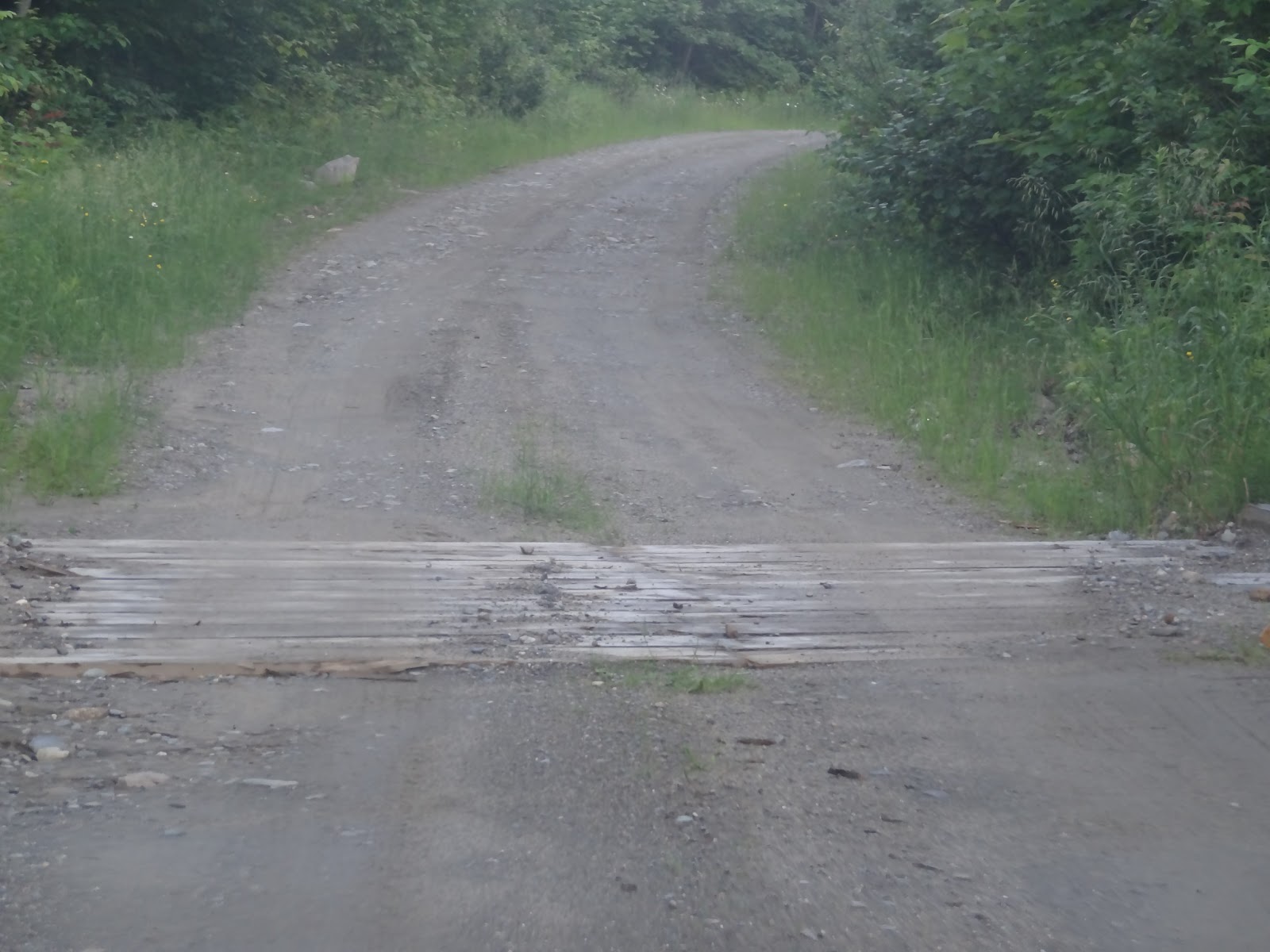
Caribou Valley Road (CVR) is 1 mile North of the Sugarloaf ski area. Just after passing a transfer station on the right (on an uphill), Caribou Valley Road will be on the left. There is a steep grade sign marking the road- no other signs).

The first couple miles were a little rough, but definitely doable with any car. I drove up in my Honda Fit. Drive slow and you’ll be fine. You may even spot some wildlife! I helped this turtle cross the road and saw a deer.


I parked right before the metal bridge as was advised by others who had been up here in the past year. There is room for 6-8 cars here. Right over the metal bridge there is room for a few more cars. After that, the road gets much worse.


If you have a high clearance car, you may be able to make it up further, but it’s only a 10-15 minute walk to the trail from the metal bridge.

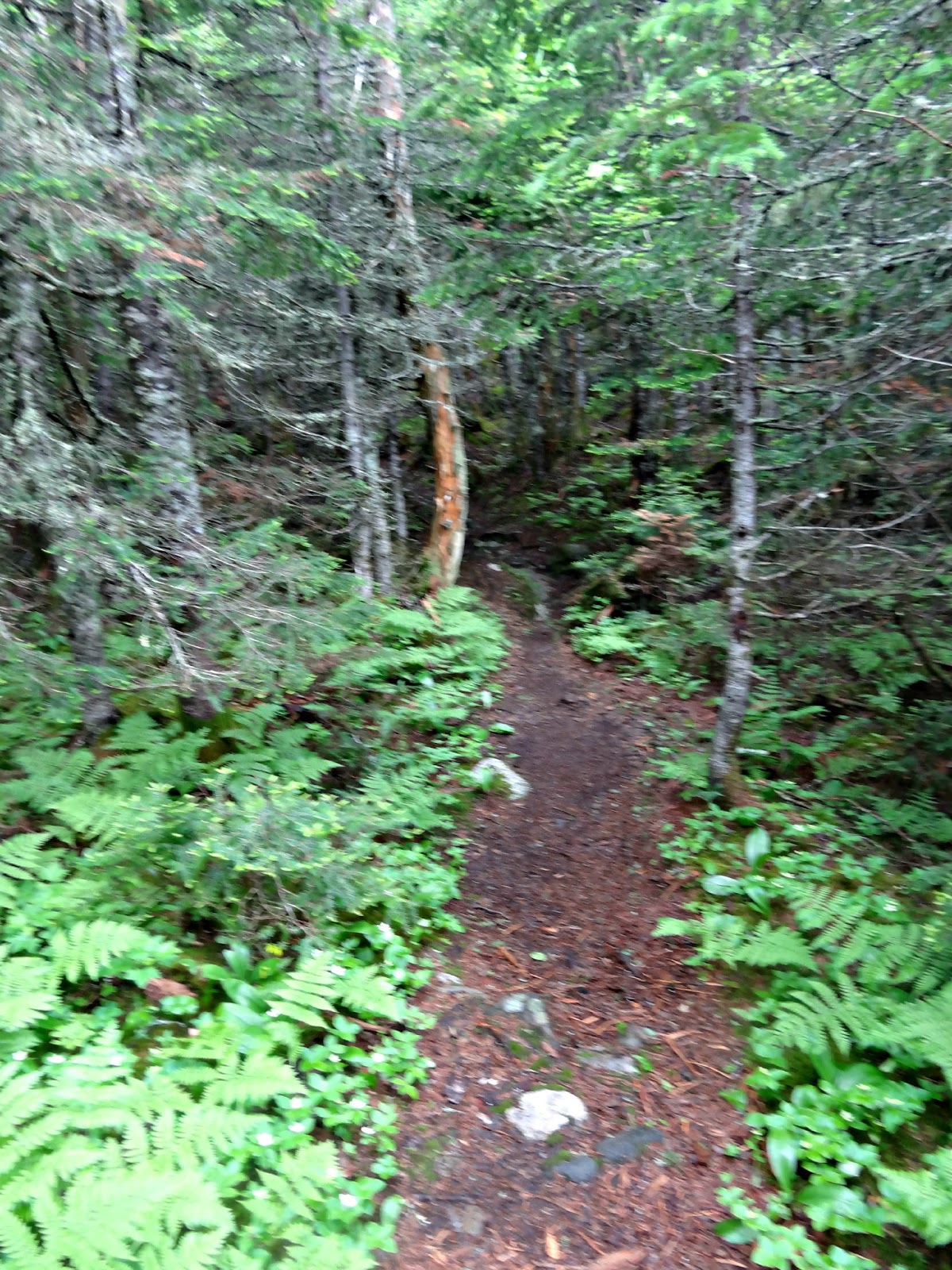
The trail for the Crockers starts on the right side of the CVR. It is marked by a white blaze on a rock.


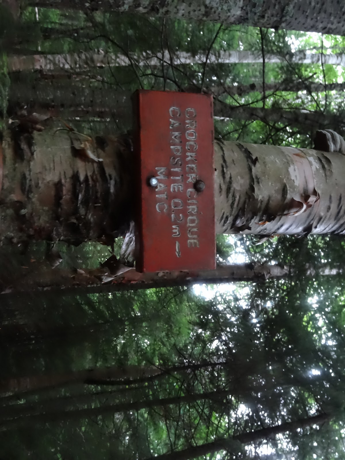
I had arrived at the CVR around 5:30 pm and hiked to my campsite-Crocker Cirque. It is 1.1 miles from CVR. As I was doing three day hikes in the area, I planned on camping here the first two nights and staying at the Maine Roadhouse the last night with some of the other hikers in my group.
I had two packs to carry to Crocker Cirque as I didn’t want to carry my food and shelter with me up the mountain since I had a home base. I had a pack on my front and back. It was pretty humid for a one mile night hike and that would only foreshadow the bugs to come. There was a family already set up on the platforms. I hiked a little further and found a nice spot for my hammock.

That night it poured. Even with constant rain and gusts of wind, I stayed dry. With the built in bug net I didn’t get a single bug bite when I was sleeping. The next morning I woke at 6:15, ate breakfast, and headed back down to CVR to meet my group.

At 8:15 our group of 5 began our hike up to the Crockers. I gave them the “tour” of this section of the Appalachian Trail as it was my third time on it. From the turnoff for my camping spot, it was only a little over two miles to South Crocker. The first section up was very steep. Nothing like a steep climb up to wake us up!


The forecast for the whole week was a chance of rain and thunderstorms everyday. On day one we lucked out with some great views. Unfortunately it was paired with lots and lots of gnats.


 |
| Summit of South Crocker! |


The hike over to North Crocker was really nice. It was a mile away and we had some fun steep sections mixed with some beautiful woods. I even ran into a Southbounder who I kind of knew. Phillip Ouellette had asked me about my Presi Traverse a while back became friends on Facebook. He’s been on the trail since June 9th. You can follow his progress here!


 |
| North Crocker (4228′) |
After North Crocker we had to return to South for the bushwhack to Redington. This bushwhack has been described to me as being pretty easy for a ‘whack to almost impossible. The family I met a the campsite said it was really difficult and only a couple of them made it there. The rest had turned back.

With the mixed news, we put our map skills to practice and estimated where Redington would be to pin it on the GPS. This would only serve as a general guide since we didn’t have the exact coordinates.

The hike started between the actual summit of South Crocker and the viewpoint. I had thought about whether or not I’d give specific directions for this portion, but I don’t want to ruin the fun! I have included lots of pictures, but no step-by-step directions. Skip the next few pictures if you don’t want to ruin the adventure!

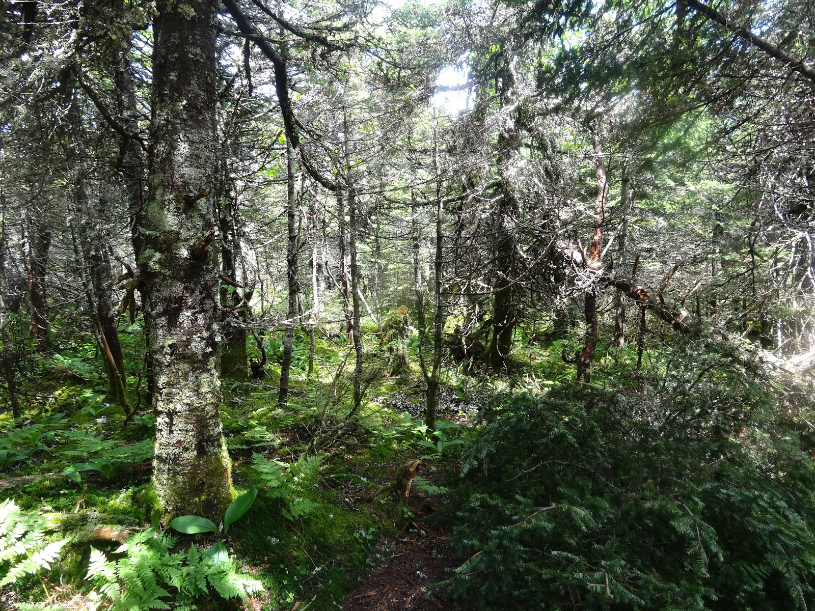
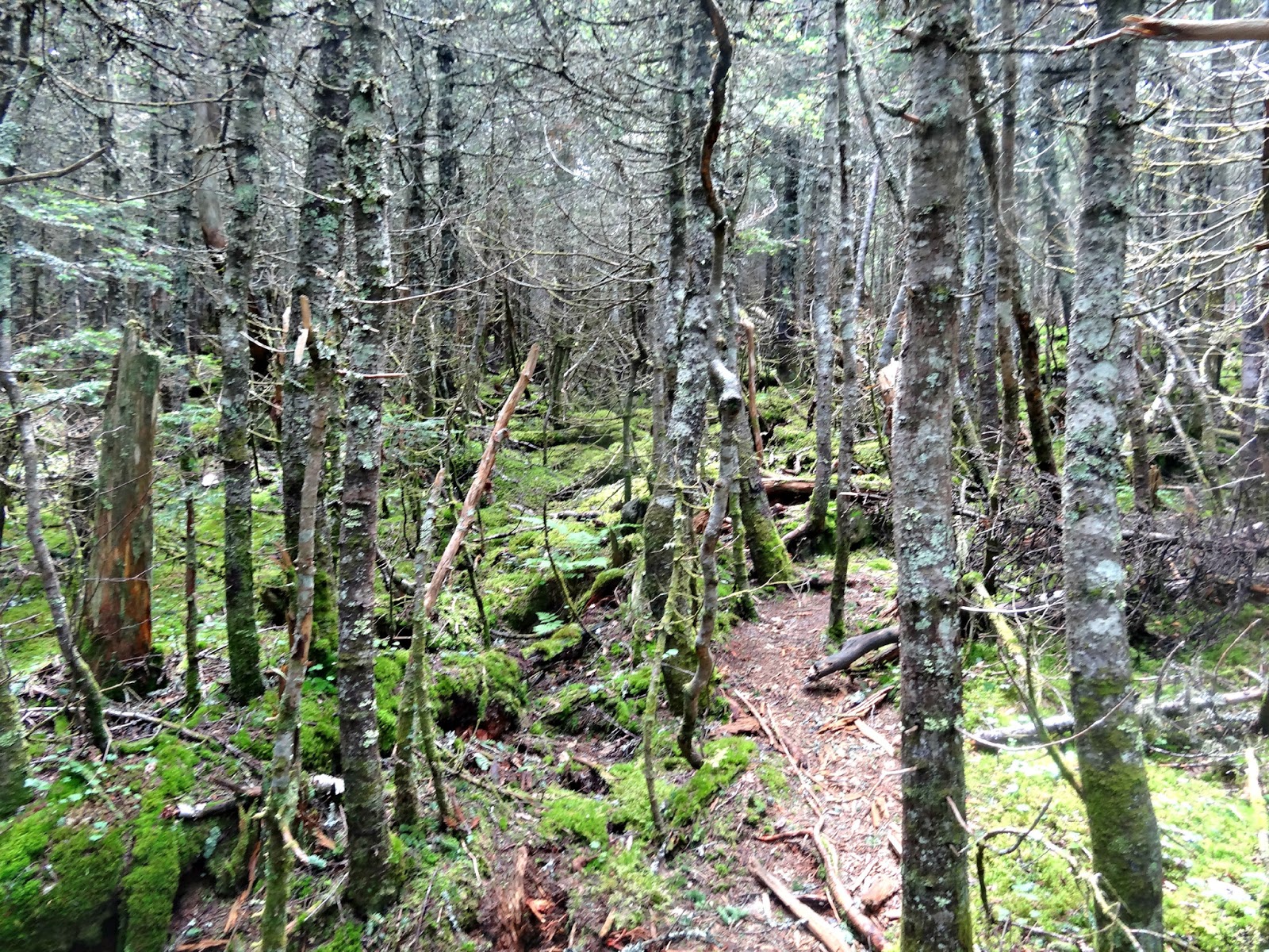
Once you find the correct path, it is pretty easy to follow. There are a number of pink flags for the route. We navigated ourselves instead of completely relying on the flags as they could have been used by a hunter or someone who didn’t go to Redington.


There were a few sections that we had to stop and double check before continuing, but much of it was easy to follow for a bushwhack.


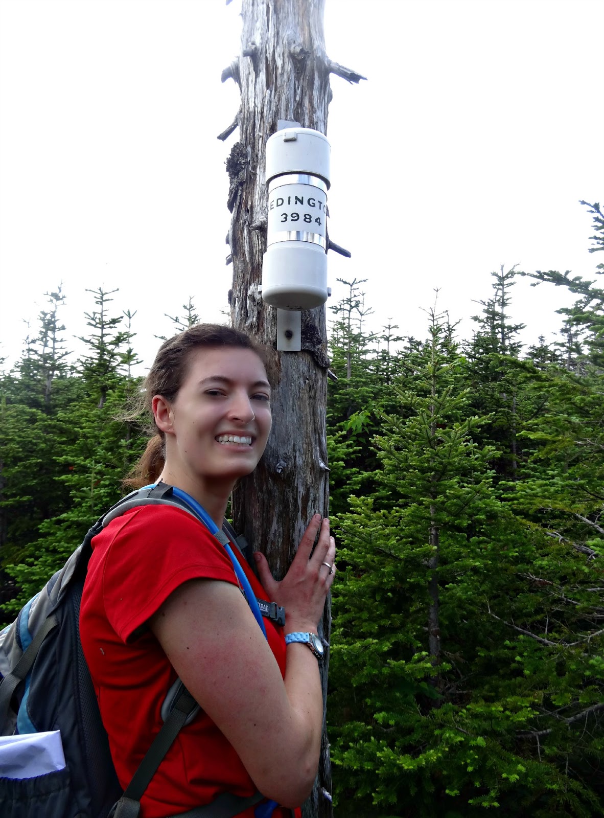
The canister was a little tricky to find, but it was discovered just by wandering around a little.

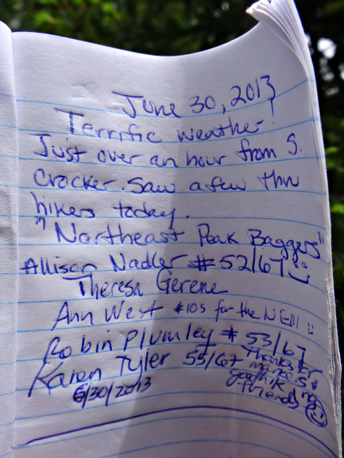
The canister was a nice treat as it is only the second one I’ve been to! The last entry was two days before us. I wonder if that family ever did make it to the summit since they didn’t sign it.


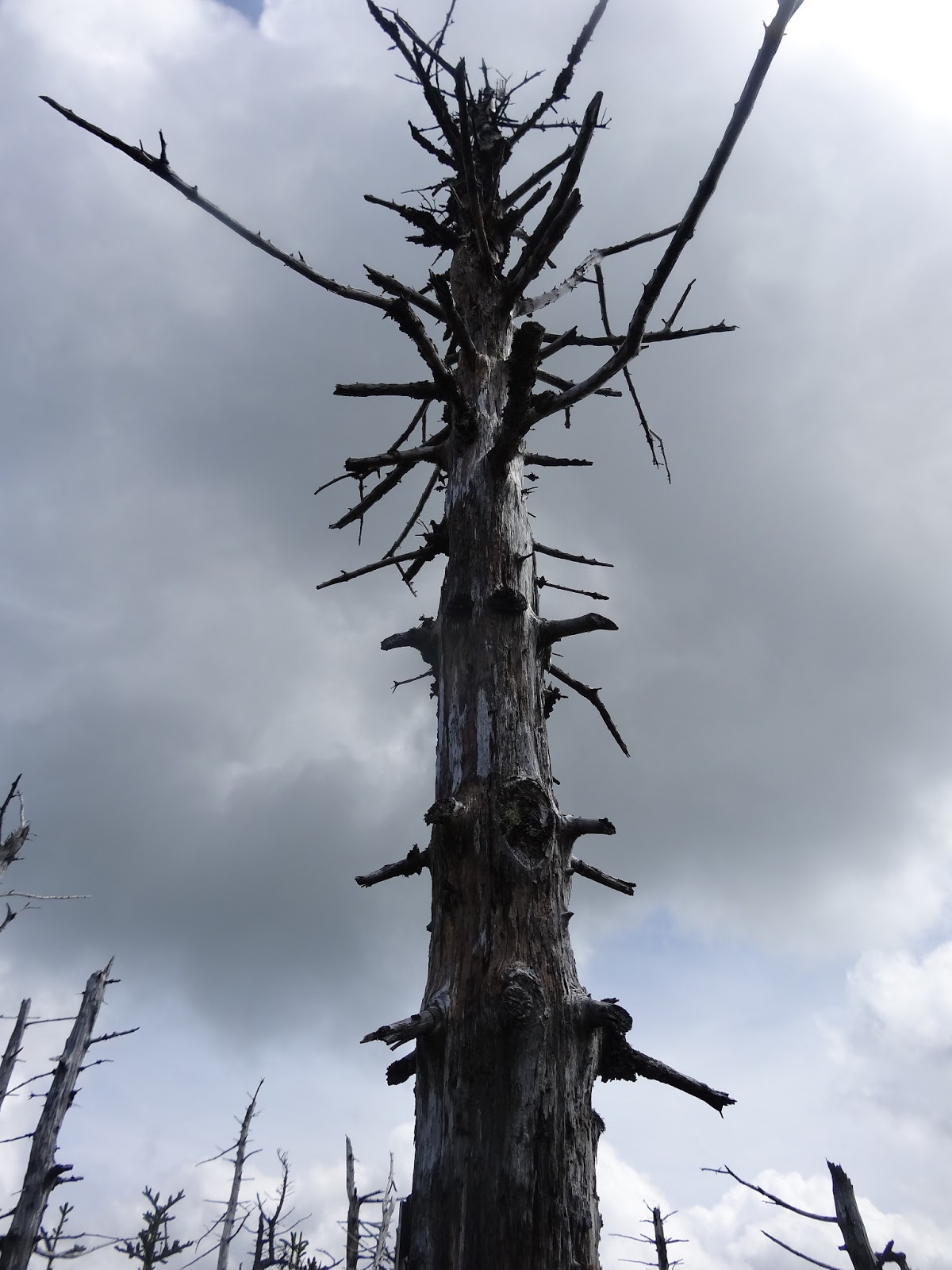
 |
| The remains of an unfinished wind farm |

On the way up the Redington it only took us an hour. On the way back I think we took one of the feeder paths and had to do some real bushwhacking back to the original path we took. It was humid and super buggy, but the ‘whack was fun!


We returned to the summit of South Crocker (for the third time!) and then hiked on down. I headed over to my campsite and intended on making dinner. I made a fire to attempt to ward off the bugs. Even with the fire, the bugs were swarming me. They were like missles, plotting their way into my eyes any chance they got. I put out the fire, packed up my hammock and hiked down to my car hungry and in flip flops. I had to get away from those bugs.
I decided to join the gals I was hiking with at the Maine Roadhouse. While my hammock had been great, I didn’t think I’d even survive dinner with those bugs and I had a couple hours to kill before I was going to retire for the night.
Dinner was a burger and a pile of fries from the White Wolf Inn. I was hungry after 12 miles and 4300′ of elevation change. On the way over to the Maine Roadhouse, a car was pulled over. I stopped too and saw my first moose of the weekend.


Last modified: November 28, 2014
When I did reddington, we made the mistake of getting onto the boundary swath. made for a touch whack. Glad you found it OK. Great Moose!
Great post. I ended up following the boundary cut when I went to Reddington. Bad move.
Great shot of moose!