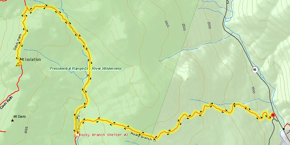
I am hoping to finish my winter 4000-footer list this season and of course left many of the more difficult hikes for last! After many weekends of frigid weather, I finally got a chance to hike this 14.6 mile trail to one of the smallest 4000-footers: Mt Isolation.
This winter has been really odd as we haven’t received nearly as much snow as we typically would by mid January. It makes it difficult to decide on gear choices. I decided to bring microspikes and crampons as I heard from previous trip reports, there was a good deal of ice up there.
The Rocky Branch Trail is moderate, but there aren’t many flat breaks for the first few miles. We all agreed that it was too hot (around 20 degrees) as we all delayered. I always over do it with my layers at the start!
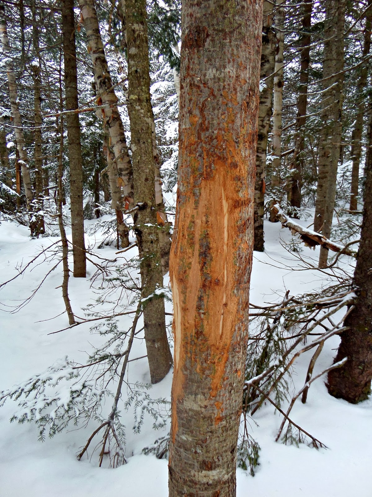
We saw lots of signs of animals on the trail. There were dozens of rabbit prints as well as the deer rub above.
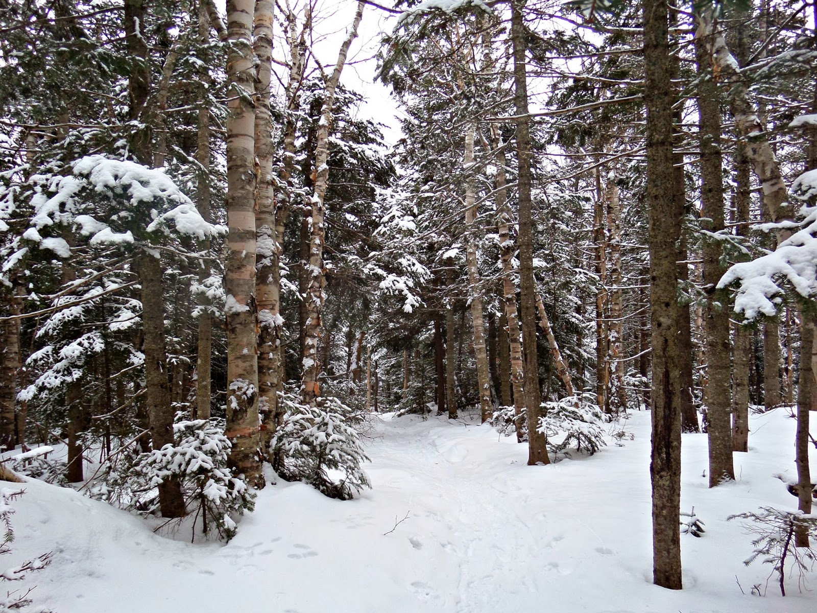
The woods are so peaceful and beautiful in winter. We were hoping for blue skies for a nice view of the Presidentials, but we were happy with the views below treeline. With snow coming in the evening we had to beat the clouds.
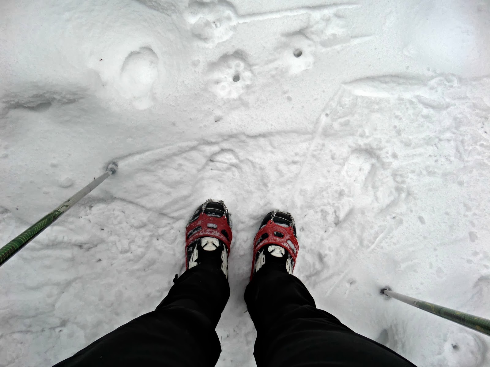
It was a microspike day for me! Snowshoes could have definitely been useful, but it was still pretty easy going with just the spikes.
We decided to take the long route and be able to count of 14.6 miles of Isolation in winter! Ok, in reality after three miles you should see the Engine Hill Bushwhack to your right. We must have all been too busy looking at the sky because all four of us missed it! There were two others ahead of us that didn’t take it either so there wasn’t a track to it yet.
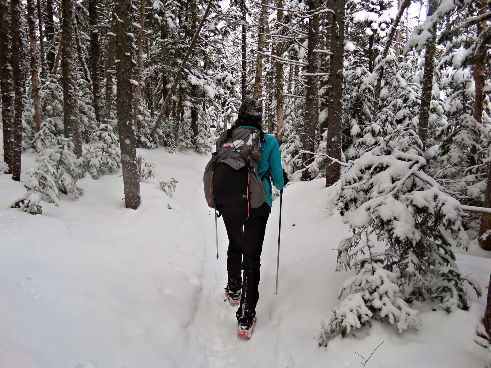
I wore my new Gossamer Gear Mariposa pack today and loved it! It was nice to just pull the sit pad from the back of the pack on the summit.
The bushwhack avoids some of the PUDS (pointless ups and downs) as well as the crossings. The first crossing, we bushwhacked around and the second one we found a pretty good spot to cross. As you can see below, there are no snow bridges, but the crossings weren’t too bad.
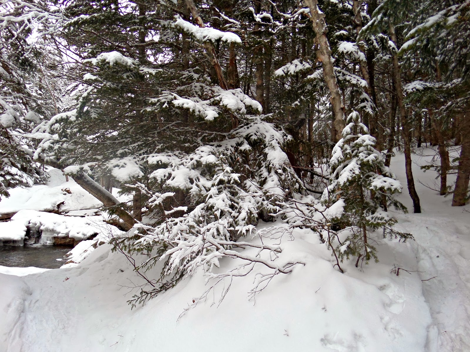 |
| First major crossing: go around to the right and bushwhack past it |
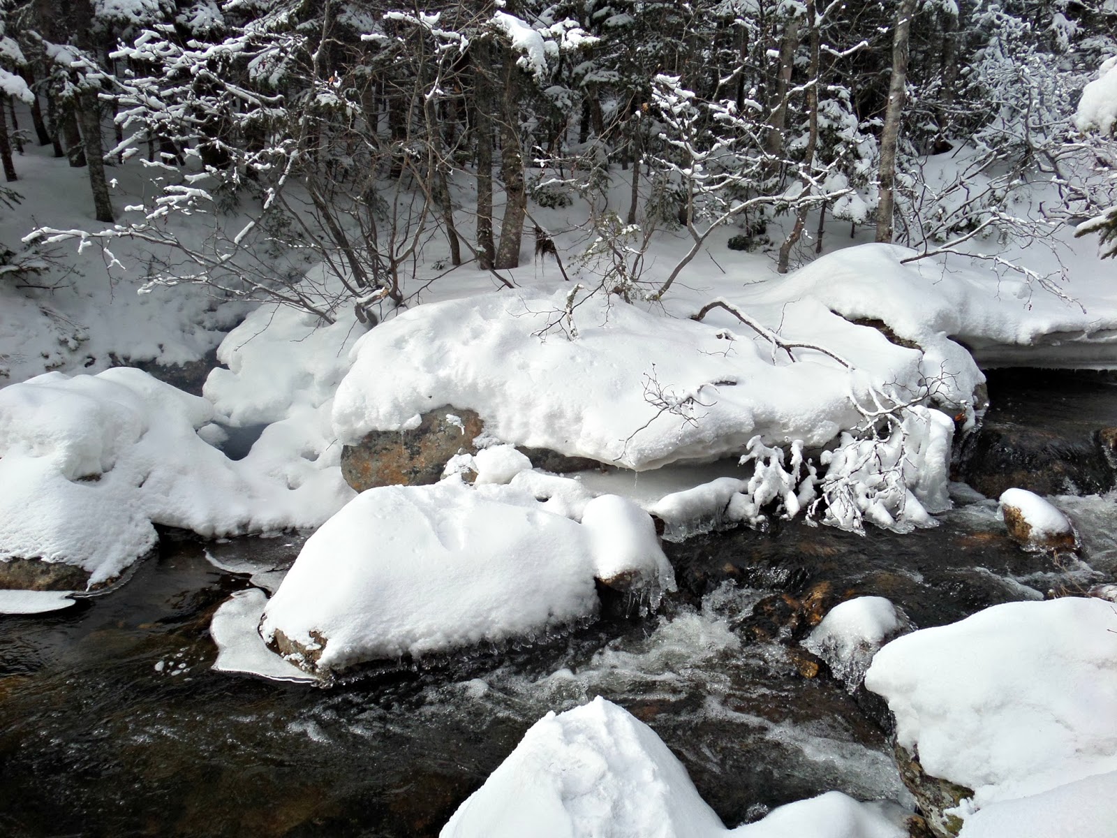 |
| 2nd Crossing |
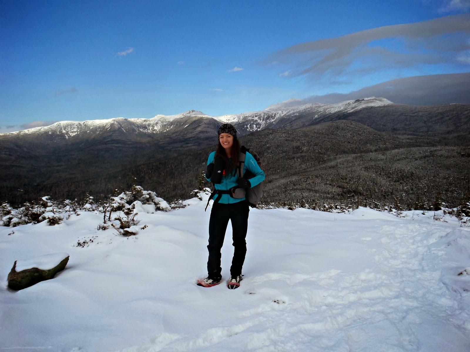
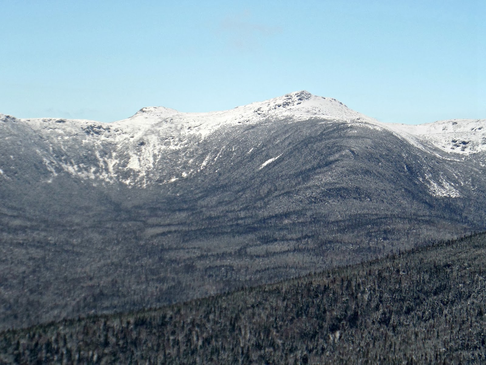
We successfully made it to the summit before the clouds came in! Above is Mt. Washington. Below are the southern Presidentials.
| The official summit photo |
On the descent we took the same route making it a 14.6 mile journey. From Davis path we connected back to Isolation trail and then Rocky Branch. Notice how none of the signs are painted or have mileage listed because it is in a wilderness area.
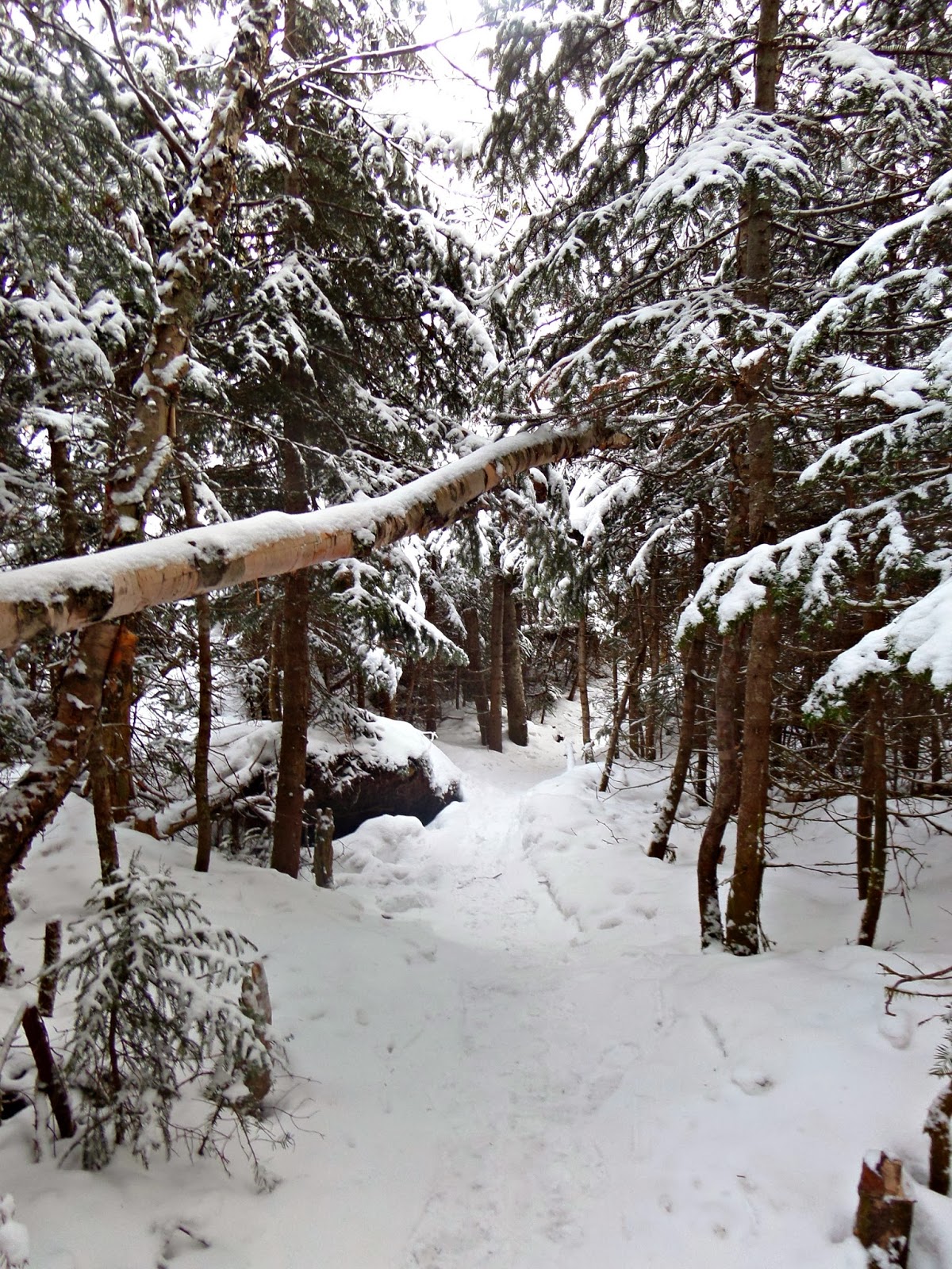
Parts of the trail were very thick. I don’t remember it being this bad when I descended down this route two summers ago. It made the trail interesting!
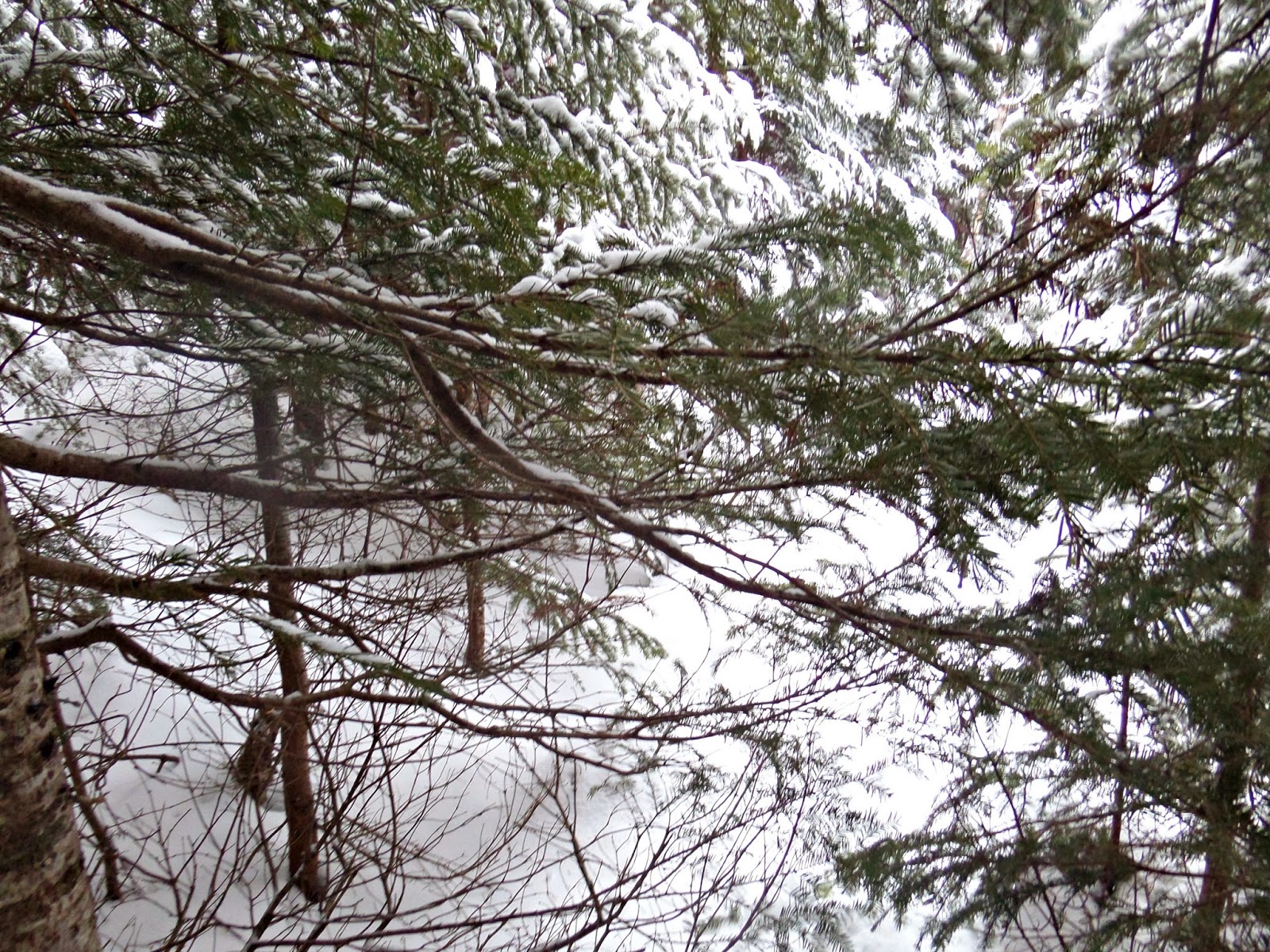
In case you’d like to actually do the bushwhack, here is what it looks like. We saw it on our way down. It is at the height of the land and there is a “T” carved into the tree. Keep your head out of the clouds and you probably won’t miss it!
Quick Facts:
Parking: On route 16 the parking area is on the left (marked with a sign) a few minutes before Pinkham Notch. It is immediately after Dana Place Inn.
Route: Rocky Branch Trail, Isolation Trail, and Davis path. Same on the descent.
Height- 4,003′
Distance: 14.6 miles
Elevation Gain: 3921′
Time: total hike time (including breaks)- 8:20 Book time is 9:14
Last modified: July 14, 2017