I was just on Isolation this January, but I needed to go back. I am working on hiking the NH 4ks in each season and needed a little revenge. Last time I missed the bushwhack and had to try for it again. The Rocky Branch Trail is the only trail I know of that is shorter in winter because of the Engine Hill Bushwhack. Once the snow melts, the ‘whack becomes muddy and seldom used by hikers.
I started up the trail about 8:45 with my snowshoes on. I knew I would wear them the whole day as we just got a storm the other day and no recent trail reports had been posted since then. I was lucky, though, as Random Group of Hikers were on the trail that day with a group of nine.
I was on a mission to make it to the Engine Hill Bushwhack this time. With a group ahead I knew it would be extremely difficult to miss, but it still felt further in than I remembered!
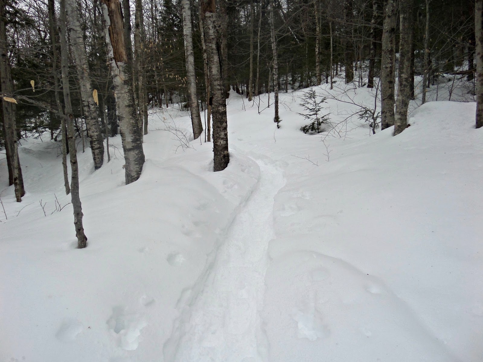
Rocky Branch is a moderately steep trail. It never gets terribly steep, but doesn’t give you too many breaks either! There are a couple blowdowns, but none that you can’t duck under!
Once you make it to the Dry River Wilderness sign, you are almost at the turn for Engine Hill. There was a lot of snow accumulation between January to March!
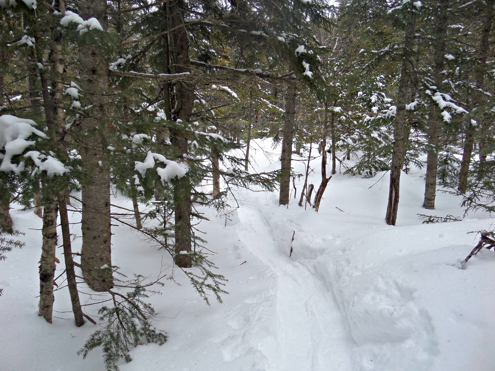
I made it! I was so happy to see this tree. I had heard from others that this year’s route wasn’t much shorter than sticking to Rocky Branch, but it does bypass the major stream crossings and it is a gorgeous area!
Hiking through the birch glades was glorious! I didn’t think it could get any prettier, but then it started snowing!

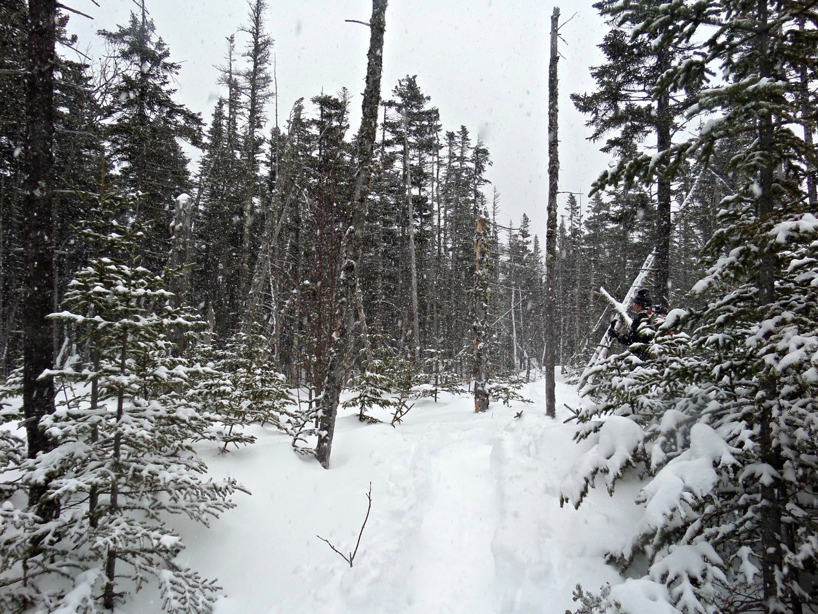
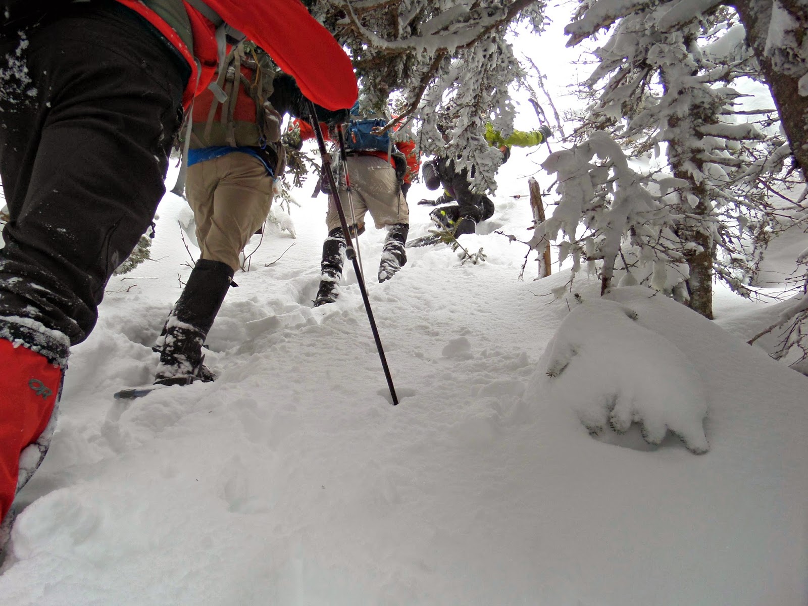
About halfway up the ‘whack we ran into Random Group of Hikers. Michael was actually making his way under a blowdown that you have to crawl under. From the start of the trail to the bushwhack I didn’t have to do any major trail breaking. I made sure to even out the trail with each step I took. After a little more hiking on Engine Hill, we came to the intersection of Davis Path. There was at least a foot of new snow up there and it was difficult to determine which left we had to take. Monica checked it out on her GPS and we made the decision. We were definitely on Davis Path now.
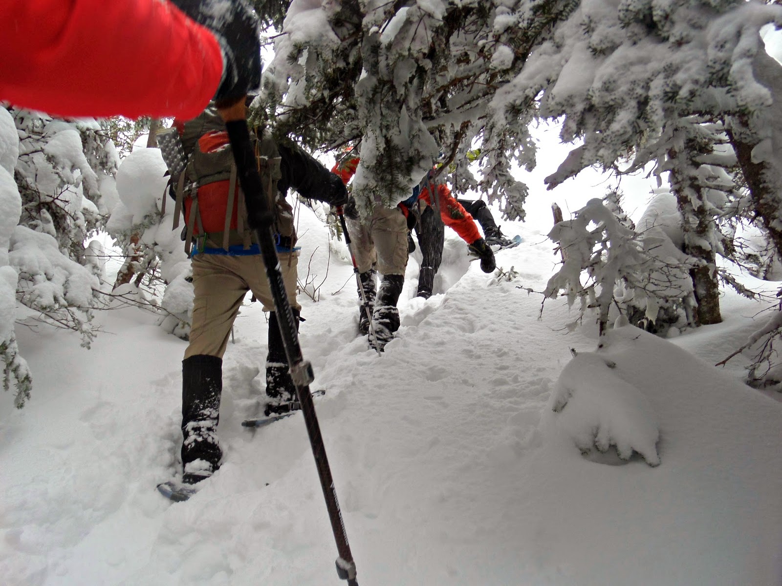
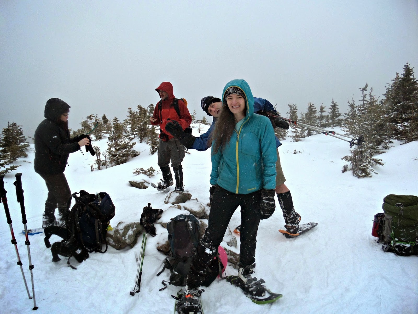
Once you reach Davis Path from the bushwhack, the summit is not very far. Approaching the summit you will run into a steep but brushy section. We made a couple of attempts at finding the right path. Two hikers went up one path and the rest of us headed a little further down to try another approach. The ascent was difficult in January, but with at least a foot of new snow, finding the right route was only half the battle.
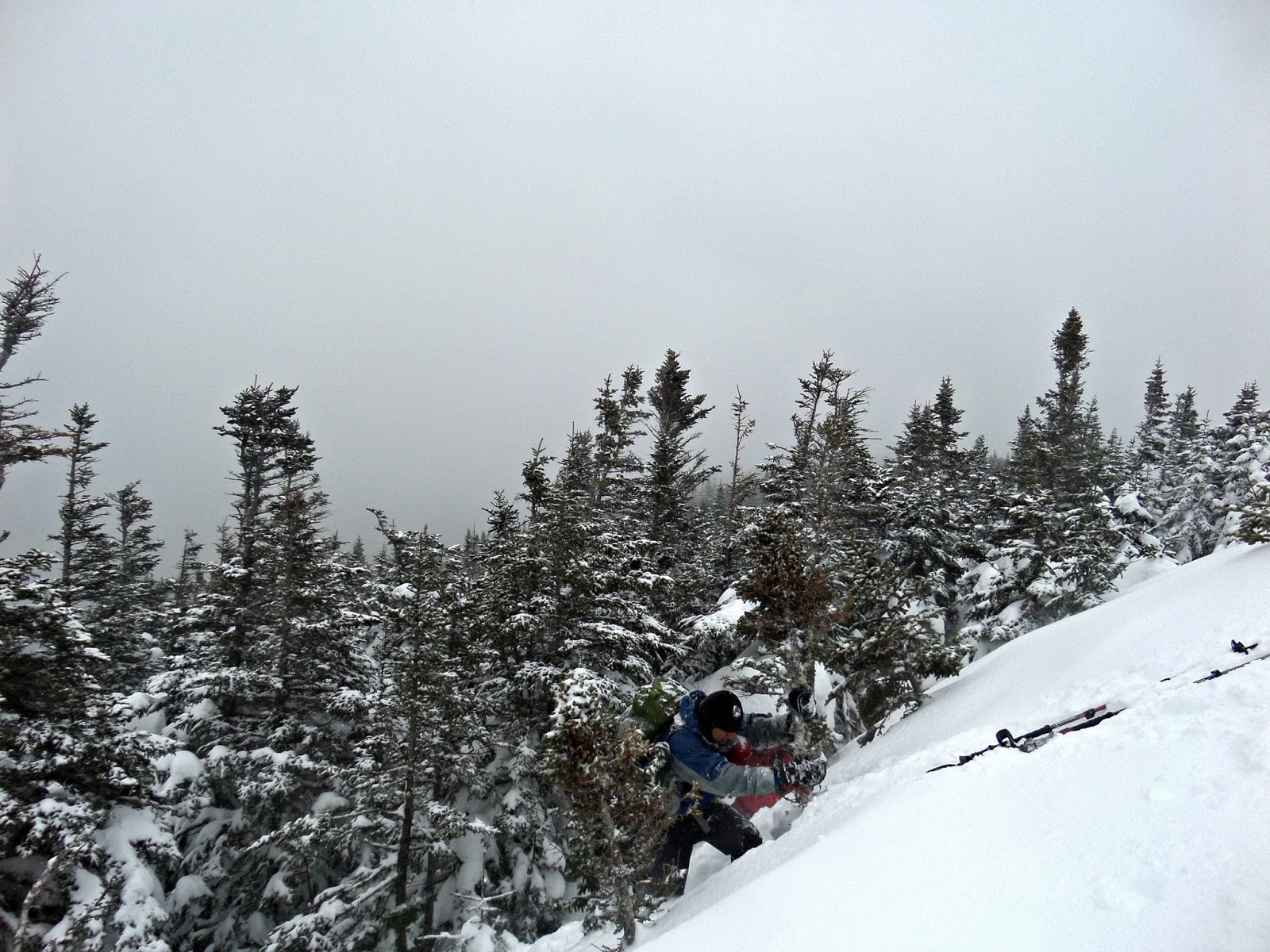
Some left their packs to make the climb up easier. I kept my pack on and found a section that had some study roots and trees. I threw my treeking poles up and pulled myself up the slope.
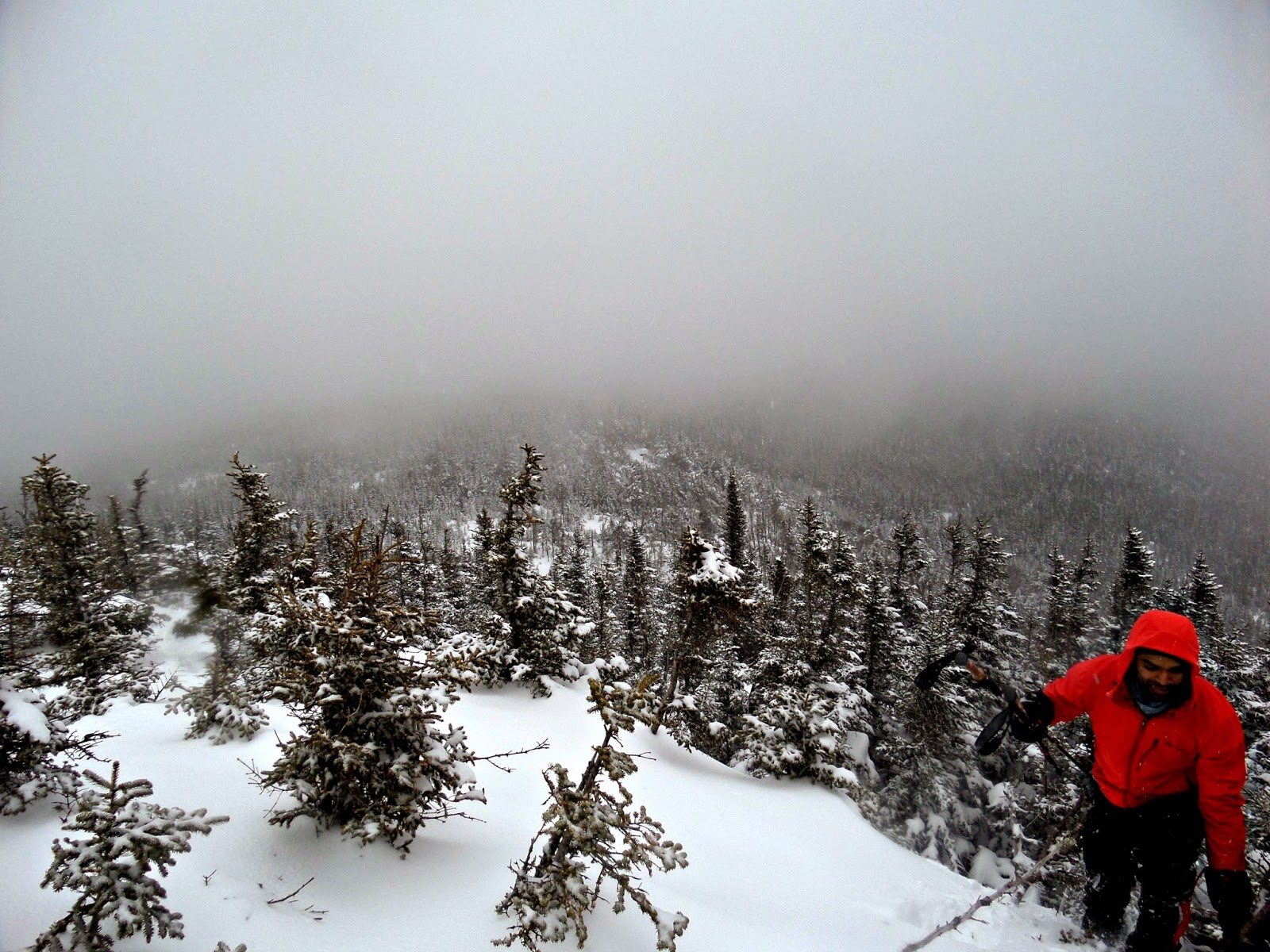
Once atop, we took a quick break as it was cold and we had a long trek back to our cars.
 |
| I don’t know him 😉 |
Last modified: November 28, 2014