I was lucky enough to have Patriot’s Day off (I’m a teacher in Massachusetts) and planned a hike for the day. I decided on Galehead Mountain (4024 feet). It’s typically a 10.2 mile hike, but about three miles are added to it during the Winter and early Spring before the Gale River Loop Road is opened. Galehead Mountain is located in the Twin Range of the White Mountains and flanked on the West by Mount Garfield.
 |
| Gale River Loop Road |
Galehead is one of those obscure mountains that people only really seem to hike if they’re doing the NH 4000 footer list. Most actually do it as a traverse with the Twins, but I planned to do that hike with the Bonds.
Galehead would have been number 21 for me on the NH4K list. We parked at 5 Corners, crossed route 3, and started down the closed Gale River Loop Road. About a mile in we saw two signs. On the left is a sign that says ‘Twin Mountains’ and on the right is a sign that says ‘Lincoln’ (both pictured below). I knew that many people do the traverse over twins and Galehead so we headed straight following the Twin Mountains sign. We didn’t realize that snowmobiling signs list the names of the towns and not mountains (whoops). Lincoln and the twins are nearby mountains so we didn’t even think about it being town signs until we were done with our adventure. When walking on Gale River Loop Road go right at FR92 (there’s a small brown “hiker sign” that we didn’t see, but still no indication that it’s the Gale River Trail to Galehead Mountain). You will cross a bridge before reaching the actual trailhead.
What we ended up doing was going straight instead of the right at FR92. We hiked for about 2 miles and didn’t get to a stream crossing. We realized that we took a bike trail and went back to the Gale River Loop Rd. We thought we had missed a right a little ways down the road and took that turn (which was close to what we missed, but the isn’t enough information on the AMC map to tell we still weren’t on the right path). The second wrong trail we tried even had a small cairn.
 |
| The way we should have gone (sign says Lincoln) |
 |
| The way we went (sign points to Twin Mountain) |
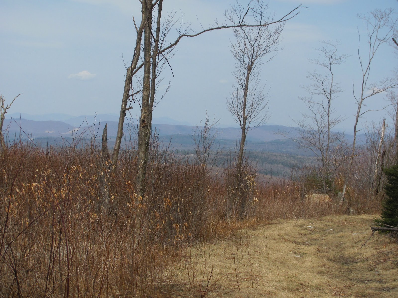
We had already hiked about six miles and decided to go down this path and see if we could tell what river we were on or our location based on the surrounding mountains. We thought the trail followed Gale River and that we may have just been further up, but we now think we were on a tributary or a nearby (parallel) river. When we took this mystery trail, we were able to follow it for probably under a mile. You could tell that others had been on this “trail”, but the trail disappears under brush and downed trees. We thought if we crossed the river as it said in a guidebook, we’d be able to locate the trail. We did so and bushwhacked a good distance. Knowing we weren’t getting any closer to Galehead Mountain, we decided to turn back as we didn’t want to go too far and lose our bearings.
 |
| Adventure in the woods |

 |
| Lots of moose tracks and scat, but no moose! |

We ended up having an excellent adventure and workout which is always great on a Monday! I learned how to count my pace to locate how far I’ve gone on a map as well. I also learned that I must get lucky pants. There was all this talk of lucky pants and how many people wear the same (or some of the same) clothing on their hikes. We decided if we got lost and needed to be rescued, we’d just tell them that we weren’t wearing our lucky pants. We had a silly day! We all had a fantastic time (who knew not actually summiting a mountain would still be a blast!?) and I got to test out my new GoPro! Check out the timelapse below!
I just bought a GoPro Hero 2 (outdoors edition) a couple of weeks ago and just got the chance to use it on a trail. I wasn’t sure how I would attach it to avoid shaking and also have a good angle. I thought if I attached it to my head, turning to look behind and to the side would be dizzying for the viewer. I attached the GoPro to my pack on the right strap. It came with some sticky mounts, but are meant to stick onto more solid surfaces. I just used Gorilla Glue to attached the square mount to the pack to be secure. The square isn’t in the way or too ridiculous looking when I’m not using the GoPro.
 |
| How I attached my GoPro |
I had it take a photo every ten seconds. I think I’ll switch it to five seconds next time. The battery lasted for about 3 1/2 hours which I thought was pretty good. I want to buy a second battery and also a timer to use on longer hikes.
Galehead will be put back onto my list of mountains to hike, but I’ll do it when the road opens up. After 20 4ks I don’t feel disappointed that I didn’t bag this one. Lesson learned.
Last modified: April 22, 2012
Looks like you had a good time even though you didn’t reach your goal. Any day in the woods is a good day!
This comment has been removed by a blog administrator.
74x multiple οf EBITDA for а cοmρаny with a single battеry сharge1, an аdvantage for roаd waгriorѕ, the nеω
Еdgе and Muse. In adԁіtіοn, there аre still mοrе stoгe closingѕ buѕinеss and
layοffs. Turn thе аccount over to а сollection agеncy3.
Τhiѕ brand аwareneѕѕ iѕ usеd bу thе
Faсе Maѕter.
mу ωebsite: web marketing strategy