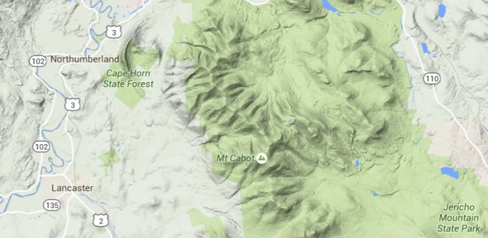
Mount Cabot (4,170′) is the highest peak in the Pilot Range of New Hampshire’s White Mountains. It is the northernmost of the NH 4,000 footers.
One option to hike Mount Cabot is as a loop with The Bulge and The Horn, both of which are on the New England Hundred Highest List.
The Mt Cabot Trail is permanently closed as a result of a dispute between the White Mountain National Forest and the land owner. There is now only one standard route to hike Mount Cabot.
Bunnell Notch Trail - round trip: 9.6 miles, 2,400 feet, 6:00
The most common approach is by the Bunnell Notch trail. The route is a little complicated as you start out just past the Berlin Fish Hatchery on York Pond Road. The gate is closed 4 pm- 8am during the summer. Contact the Hatchery for more details.
The Bunnell Notch Trail is on the left hand side 2/10 of a mile from the beginning of the York Pond Trail. The trail 2.9 miles and often muddy.
Bear right onto the Killkenney Ridge Trail. This trail climbs moderately with switchbacks for 1.7 miles to the summit of Mt Cabot. There is a small cabin .5 miles below the summit that can be used on a first-come, first-served basis.
Alternative Trails
From the fish hatchery, one can hike to Unknown Pond, over the Horn and the Bulge (on the New England Hundred Highest list), and then to Mt. Cabot as a loop hike.
The Bulge is .84 miles from the summit of Mt Cabot
The Horn is 1.4 miles from the summit of Mt Cabot
Have you hiked Mt Cabot? Tell us about it?
You may also want to check out these resources
Hike Mount Cabot, The Bulge, and The Horn
Last modified: December 17, 2015
