| Driving to the White Mountains through Conway, NH |
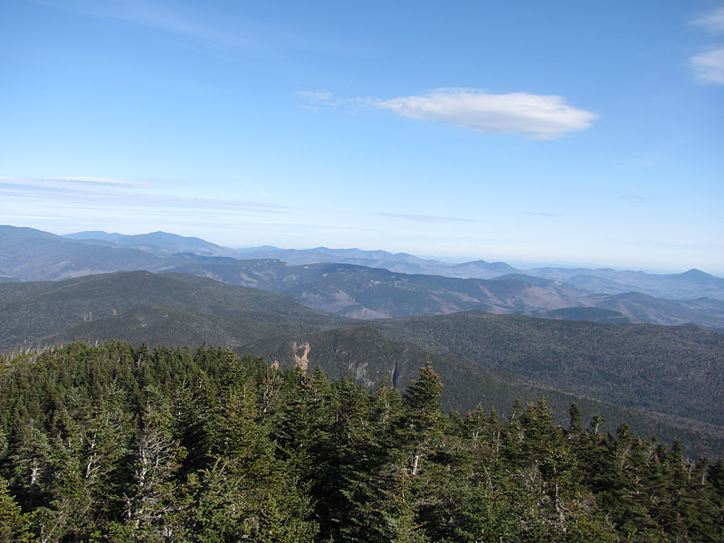
Mount Carrigain is known to have some of the most breathtaking views in the White Mountains. It is tied with Mount Washington for having the most NH 4000-footer summit views. On a clear day you can see up to 43 of the 48 4000-footers. I got lucky.
The weather in November is unpredictable at best. In October we received record snowfall in New Hampshire. For my November 19th hike, it was gorgeous.
Mount Carrigain is a tough hike. It towers the surrounding area at 4,700 feet and most of the elevation gain is saved for the last three miles. I parked at the trailhead next to Sawyer River Road. I expected the road to be open as it was not yet winter, but because of the damage it received from Hurricane Irene this year, it had been closed. This added four miles to my hike making it 14 miles roundtrip.
| Sawyer River Road: Closed to vehicles |

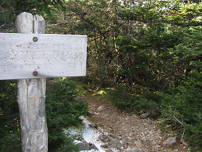
After a two mile walk, I reached Signal Ridge Trail, the beginning of an adventure to the summit of Carrigain.
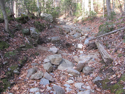
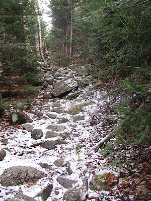
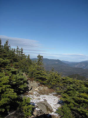
The beginning of the trail is rocky, but becomes smoother after a half mile or so.
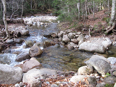
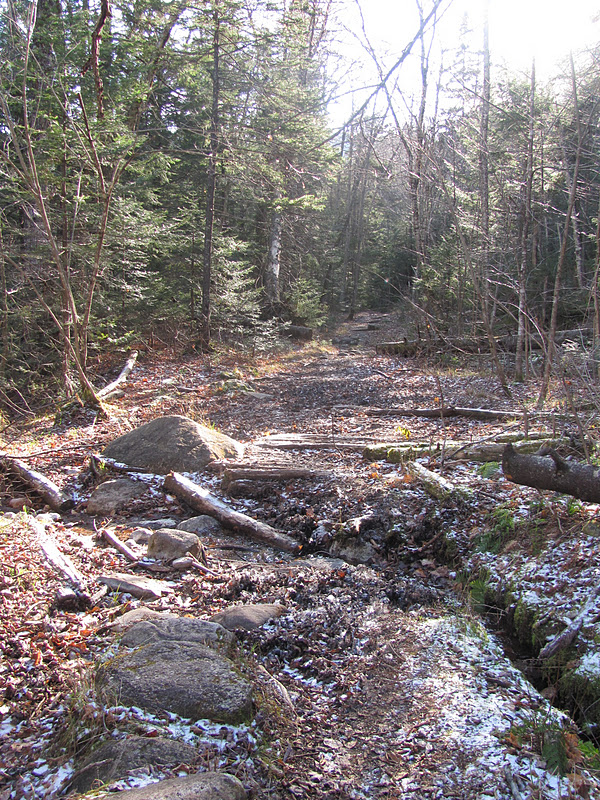
This was the first stream crossing. It is difficult to stay on the trail after as there are no blazes (none that I saw on the entire trail) and it is very easy to get lost. I made the mistake of going to the right of the stream after the crossing and ended up “bushwhacking” (if it can even be considered that) until a few minutes later I found the path again. After crossing, stay to the LEFT and you will be following the trail. I met a man who was hiking his last 4000-footer and he got lost too!
I was surprised to find less snow than my hike on Moosilauke last month. On parts of the trail there was vegetation frozen and mostly untouched. It was difficult to get a good picture, but it was interesting!
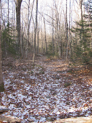
The trail gently curved until I reached an intersection. Bear left to continue to the ridge and summit of Mount Carrigain or bear right to travel to the Carrigain Notch Trail. I went left.
I looked at my altimeter and saw, not to my surprise, that I was only at 1,797 feet. 2,903 feet in 3.3 miles of hiking was ahead of me.
Many times I felt that I must be getting close to the ridge. I had to resist the urge to look at my elevation gain.
| Some friends sharing the trail |
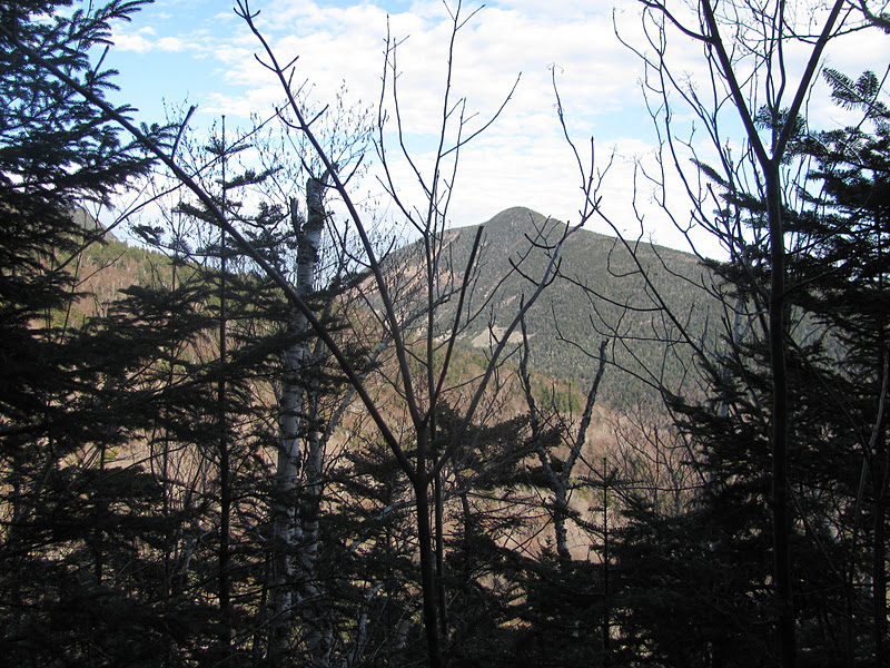
During the seemingly endless trek up there are a few views through the trees. This was a very good motivator!
I packed my microspikes, but didn’t need them. There was only one slick section that wasn’t too difficult to slide across.
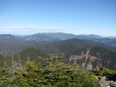
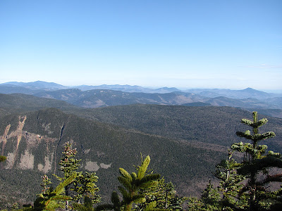
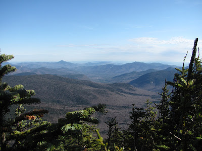
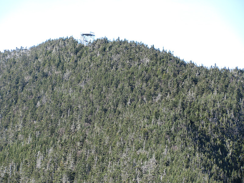
I finally reached the very windy ridge and saw some amazing views! I had amazing weather and could see so many peaks.
| Carrigain’s Ridge |
 |
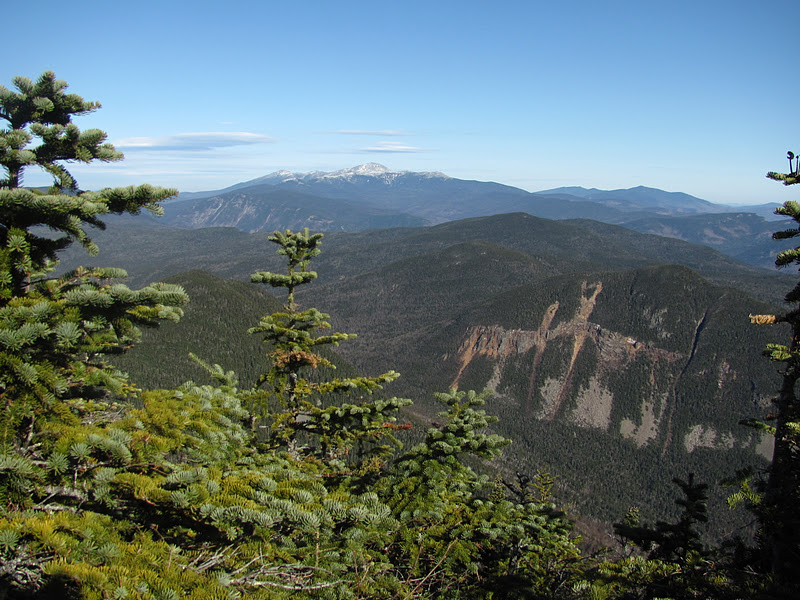
| View of the Presidentials from the Ridge |
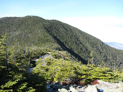 |
| .5 miles to the summit! |

From the ridge, you go back into the trees and wind back up a few hundred feet to the wooded summit of Carrigain. At that point I dropped my pack, put on a couple more layers and my hot cocoa! I then headed up to the tower. From there you get an even better look at the 43 4000-peaks, plus others as the tower is unobstructed by trees for 360 degree views.
| View of the Presidentials |
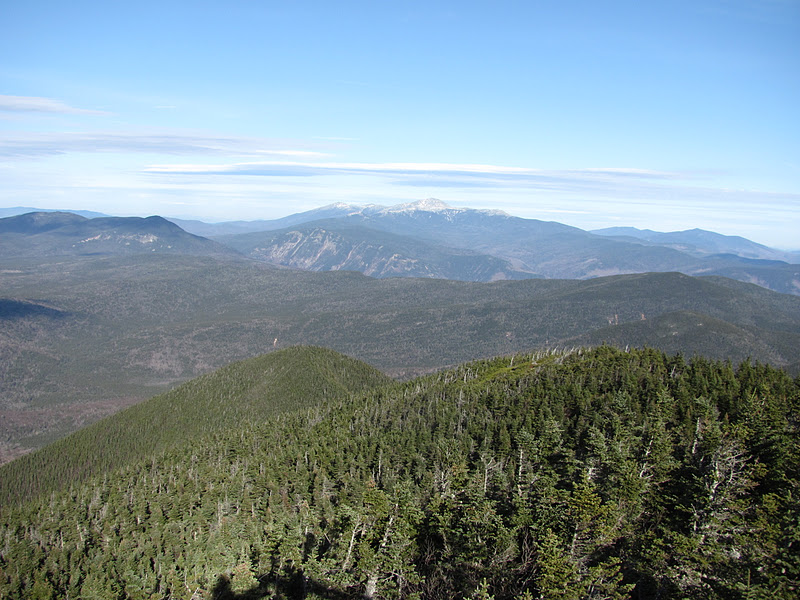
| Tripyramids, Osceolas, and Tecumseh |
| from left to right: Lincoln, Owl’s Head, Lafayette, Bondcliff, Garfield, Bonds, Twins, Zealand, Hale, Tom, Field, Willey, Jefferson |
| The Tower |
 |
||
| Back to the trailhead |
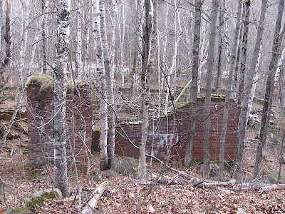
On the way back to my car I saw the remnants of an old building which I didn’t see on the way up. Livermore is a ghost town, but was once a thriving mill town. In 1877, the Sawyer River Railroad was completed which was what some of the hike followed. From doing a little research it looks like the foundation pictured above was once a sawmill. More information: Sawyer River Railroad.
As you can see from all the pictures, it was a very beautiful and scenic hike. It is difficult as nearly all of the elevation gain is saved for the last three miles. The weather can often be unpredictable so be prepared for cold and very windy conditions near and on the summit!
Quick Facts:
Approach from: Parking next to Sawyer Ridge Road (closed in winter) off of route 302
Height: 4700′
Distance: 10 miles roundtrip plus an extra 4 miles of walking on Sawyer Ridge Road
Time: 7:45 for all 14 miles and time to relax on the ridge and summit
Last modified: November 28, 2014
That was AWESOME!! Loved the views from the top.
Kim- The photos didn’t do it justice either! Thanks for following! 🙂
Awesome review! Just one thing that confused me — as you were describing how you got lost by going to the right of the stream after the crossing, you warned people to stay to the right of the stream after the crossing so they wouldn’t get lost. Did you mean “stay to the left”? 🙂 Other than that, you left a very thorough and helpful review, as always.
Rachel- good catch! I don’t want to continue a trend of people getting lost! Thanks for reading! 😀