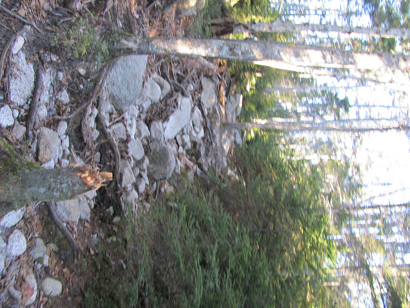
| Trail damage from Hurricane Irene |
Parking is very easy to find as opposed to many of the hikes I have done. If you know the Kanc, you will find parking right before the hairpin turn. It is a few miles after the Hancock camping site. The trail is across the street so be VERY careful when crossing as you cross at the hairpin turn.
The majority of the trail has very gentle grades. I was surprised by how long I was able to keep all my layers on before I started to really work up a sweat!
This was the only snow covered section. It has been rather warm for December and absolutely no special foot gear (snowshoes, microspikes) was needed today.
There were numerous stream crossings (I counted five) which made the hike interesting. Some of the rocks were covered in ice so it did help to use a trekking pole. I was glad my boots are waterproof, too!
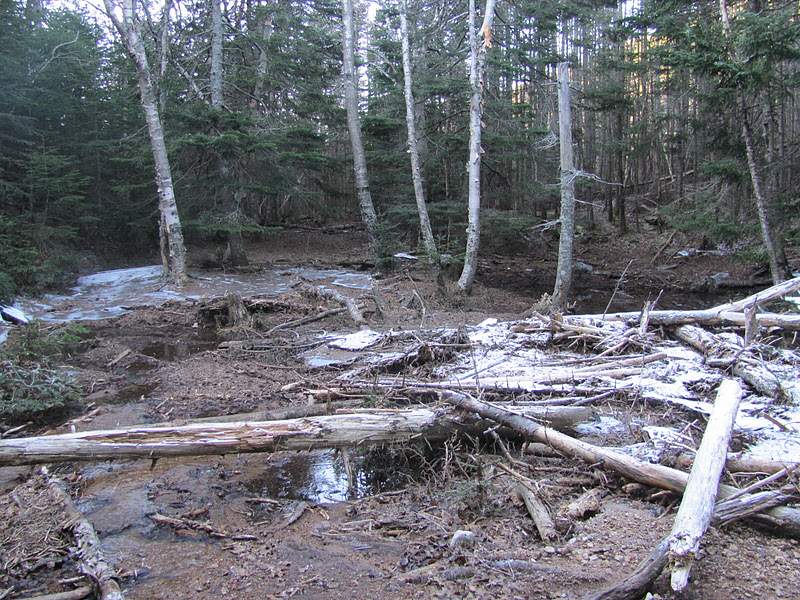
| Wet trail |
On the hike you will start on the Hancock Notch Trail and then follow the sign to Cedar Brook Trail/Hancock Loop Trail.
There was a good amount of ice on the trail, but mainly on the wide sections which were very easy to navigate around.
One of the few steeper sections of the trail before the trail to North Peak.
I was very surprised by how wet and muddy some of the sections were (as you can see!) and managed to get my foot stuck in the mud. At least there were plenty of steams to clean it off!
I knew at this point the trail would be much tougher as the last .5 miles to North Peak climbs about 1000 feet of elevation. You can choose to hike North Peak first or take the loop towards South Peak. Either way, you will hike some serious elevation gain!
| Somewhat of a view of Arrow Slide |
I have been reading Tom Ryan’s book Following Atticus and that night after my trip I happened to read about them hiking the Hancocks. In response to the .5 mile section Tom wrote, “In my previous hikes on the Hancocks, I’d come to know that slow, painful climb as the place where I paid for my Ben and Jerry sins. I’d take twenty steps, stop, hang over my trekking poles, gasp for air, let the sweat run down my face, and swear off junk food forever.” I couldn’t help but laugh as I felt exactly the same way except with less face sweat and a promise of using the StairMaster more.
| North Peak |
| South Peak |
At some point I passed Middle Peak, but didn’t notice it…. Overall it was a very moderate hike and the easier out of the 4000 footers I have hiked. This would be a great winter hike. Be cautious of the stream crossings in high water o when very icy, though.
| Panoramic View From North Peak Outlook |
Quick Facts:
Parking: The parking lot for this hike is right on the tip of the hairpin turn on the Kancamagus Hwy/112.
The parking lot is called the Hancock Overlook.
From I-93, take exit 32 towards North Woodstock/Lincoln, NH. Turn left onto 112E, and continue for 10.5 miles until you reach the parking lot.
Route: Hancock Notch Trail, Cedar Brook Trail, Hancock Loop Trail, (Mt. Hancock North Peak), Hancock Loop Trail, (Mt. Hancock South Peak), Hancock Loop Trail, Cedar Brook Trail, Hancock Notch Trail
Height-
North Peak: 4,420 ft
South Peak: 4,319 ft
Distance: 10.4 miles
Time: 5:45 for both peaks and breaks; book time 6:15
Last modified: November 28, 2014
Wonderful pictures. I like how you recap the hike at the end with the mileage and how long it took. Which guidebooks do you use and what type of boots do you have? I just finished Following Atticus and I loved it!
Thanks Kim! I’m always looking for that information on other blogs! A map will be up shortly as well. I reference The 4000-Footers of the White Mountains by Steve Smith and Mike Dickerman
http://www.mountainwanderer.com/
It’s pretty much my hiking bible. Steve Smith’s shop (link above) is mentioned in Following Atticus. You can also get the book at Amazon, EMS, etc. I also like AMC’s White Mountain Guide and their maps. I just purchased a new map that another hiker recommended. It’s called Exploring New Hampshire White Mountains Topographic Map & Guide. I found it at EMS. It has all the 4Ks and a lot of great features (plus it’s waterproof!)
The boots are Lowa Bora GTX. They’re expensive, but are waterproof and are so comfortable. I wore them hiking the day after I got them and never get blisters. I waited until I had a good coupon at REI 🙂
Great info ! Thank you : )