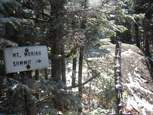
Mount Moriah (4049 feet) is a deceiving mountain. At 9 miles round trip and one trail up (we took the Carter-Moriah Trail up to the summit), it seemed like it would be an easier 4k hike. We were well prepared, but surprised by the trail.
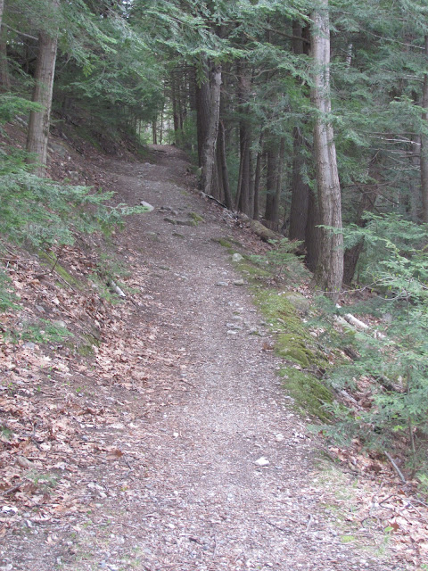
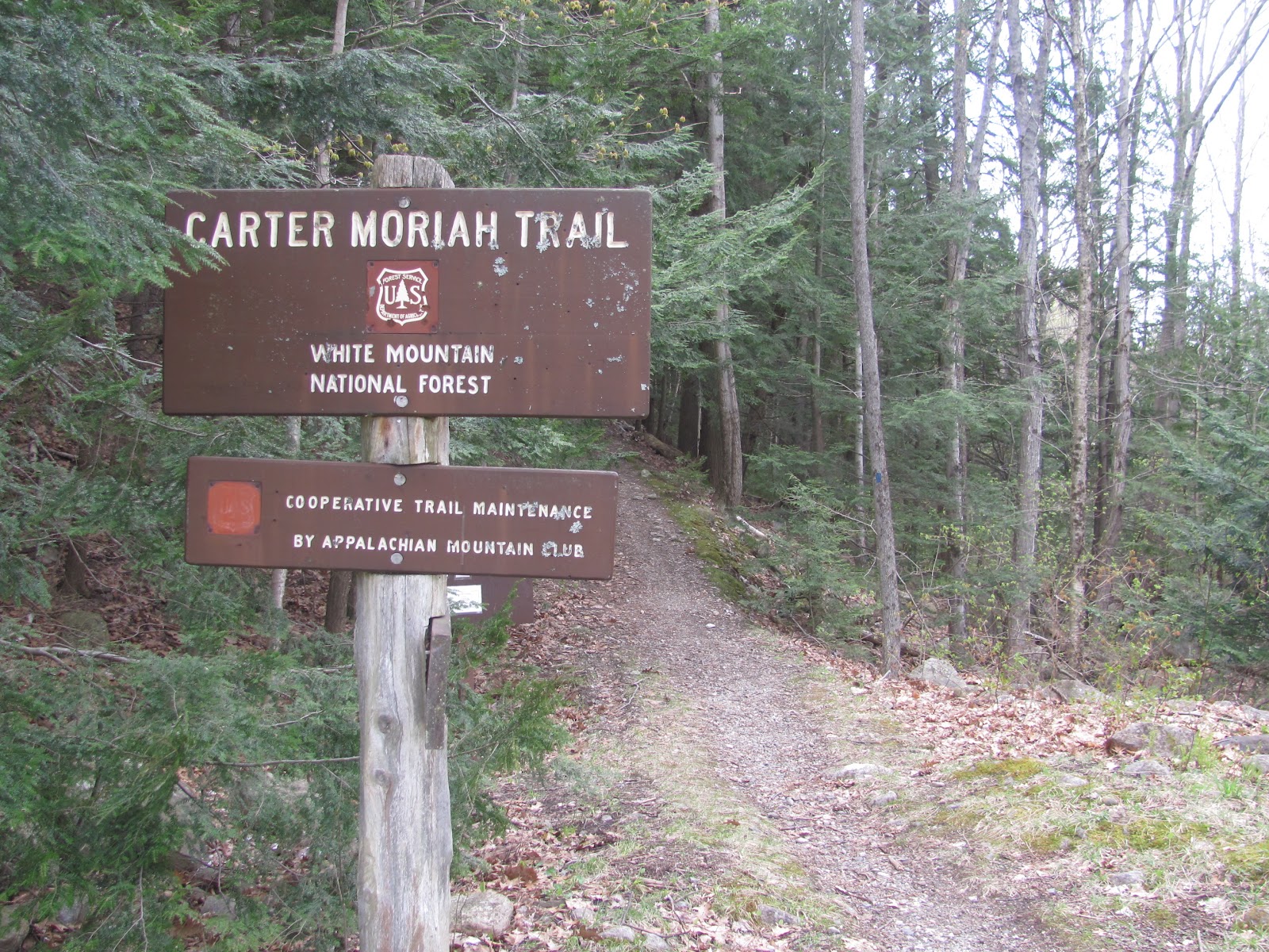
The parking area for the Carter-Moriah Trail is a little “lot” across from some houses. The directions to the lot are listed at the end. Once you head past the trailhead sign, you start on a steep path right away. It then levels out and then gets steep again. It was nice to hike up some steep sections and get breaks in between.
When we were driving up the the mountains, it was cold, windy, and raining/snowing. I’m not even sure what was going on with the weather! The forecast said no chance of precipitation so I was worried. When we got to the trailhead, we had perfect hiking weather. It was cold enough that we needed to layer up and wear gloves. We had no snow, rain, or bugs. Those are my ideal hiking conditions!
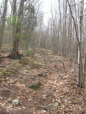
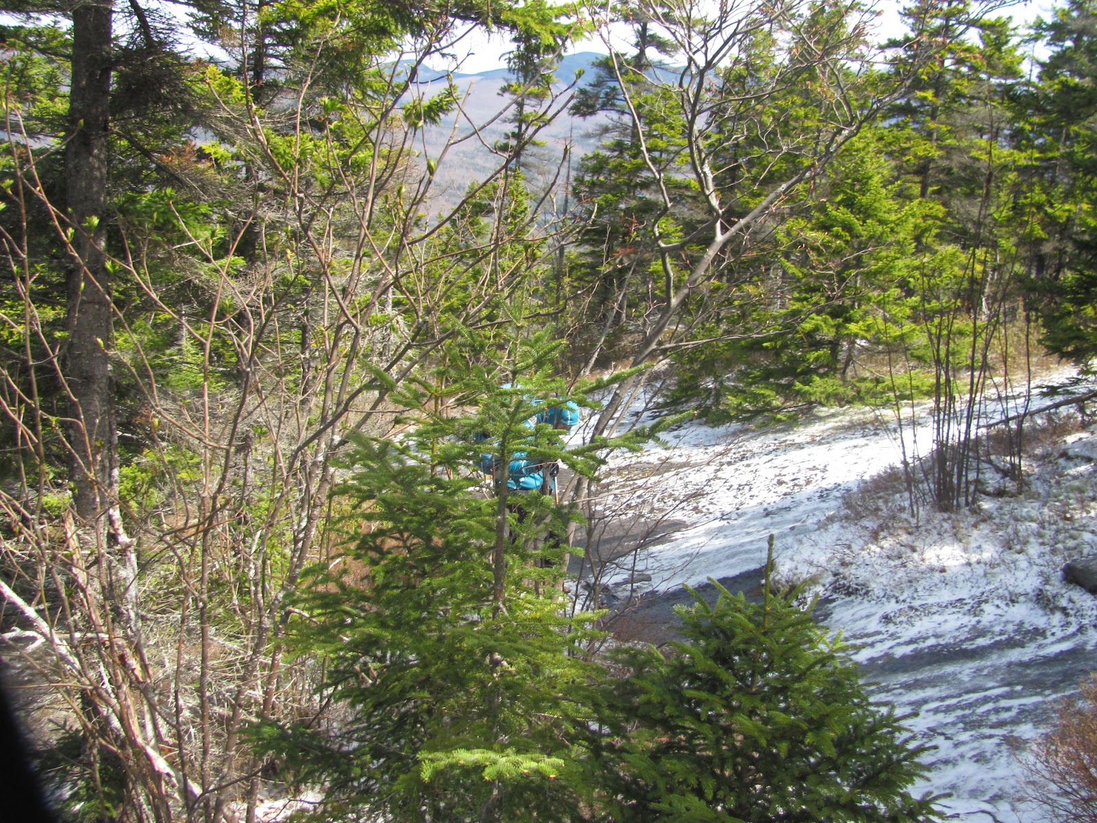
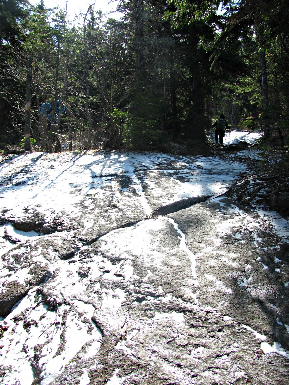
The first third of the hike wasn’t too icy, but the rest was. Microspikes were essential on this hike.
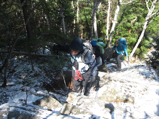
| Anne navigating her way around the ice |
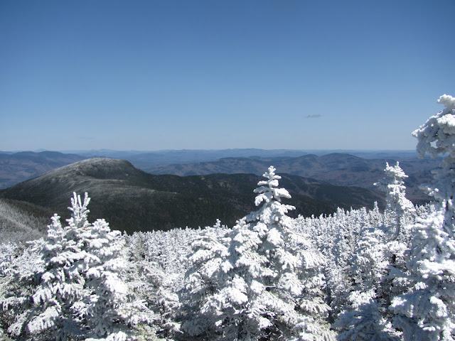
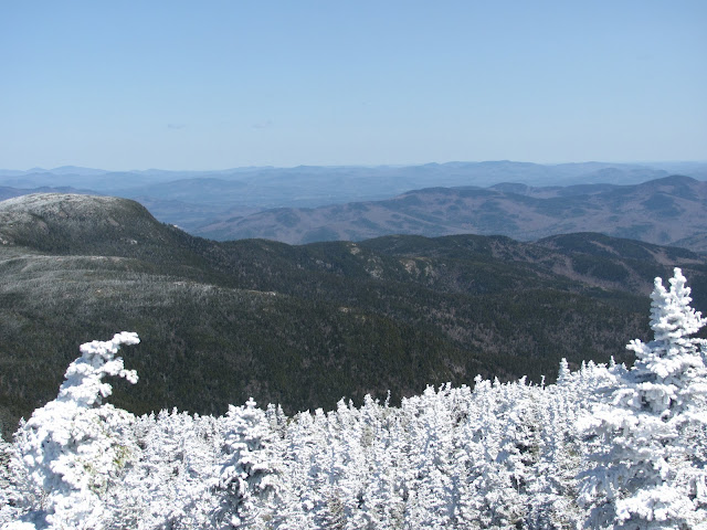
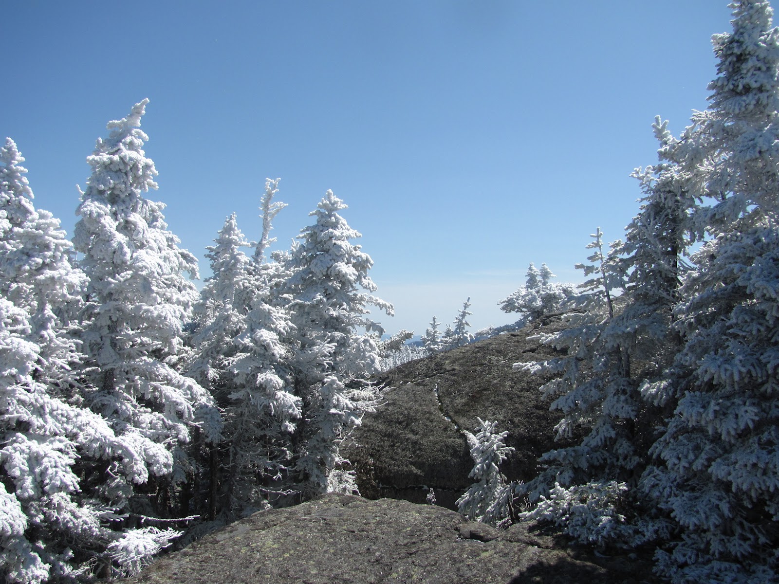
After about two miles, you will summit Mt. Surprise. It is not a very good surprise, as we’re not entirely sure where it was. There is no sign, but we think it might be the photo above. The trail was very well marked with blue blazes and cairns. What is surprising are the views of the Northern Presidentials!
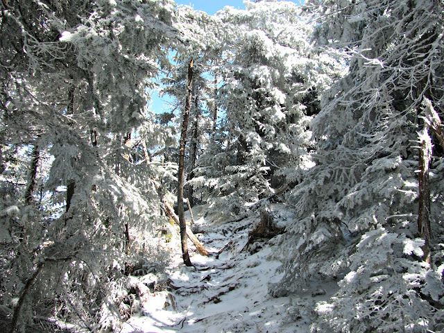 |
| Don’t worry, there’s still snow in the Whites! |
The hike was very slow going with all the ice. We hiked at a steady pace until we came to all the icy sections and had to go at a snail’s pace making it a seven hour hike. Even though Moriah is just over the 4000 foot mark, you still climb over 3500 feet in elevation!
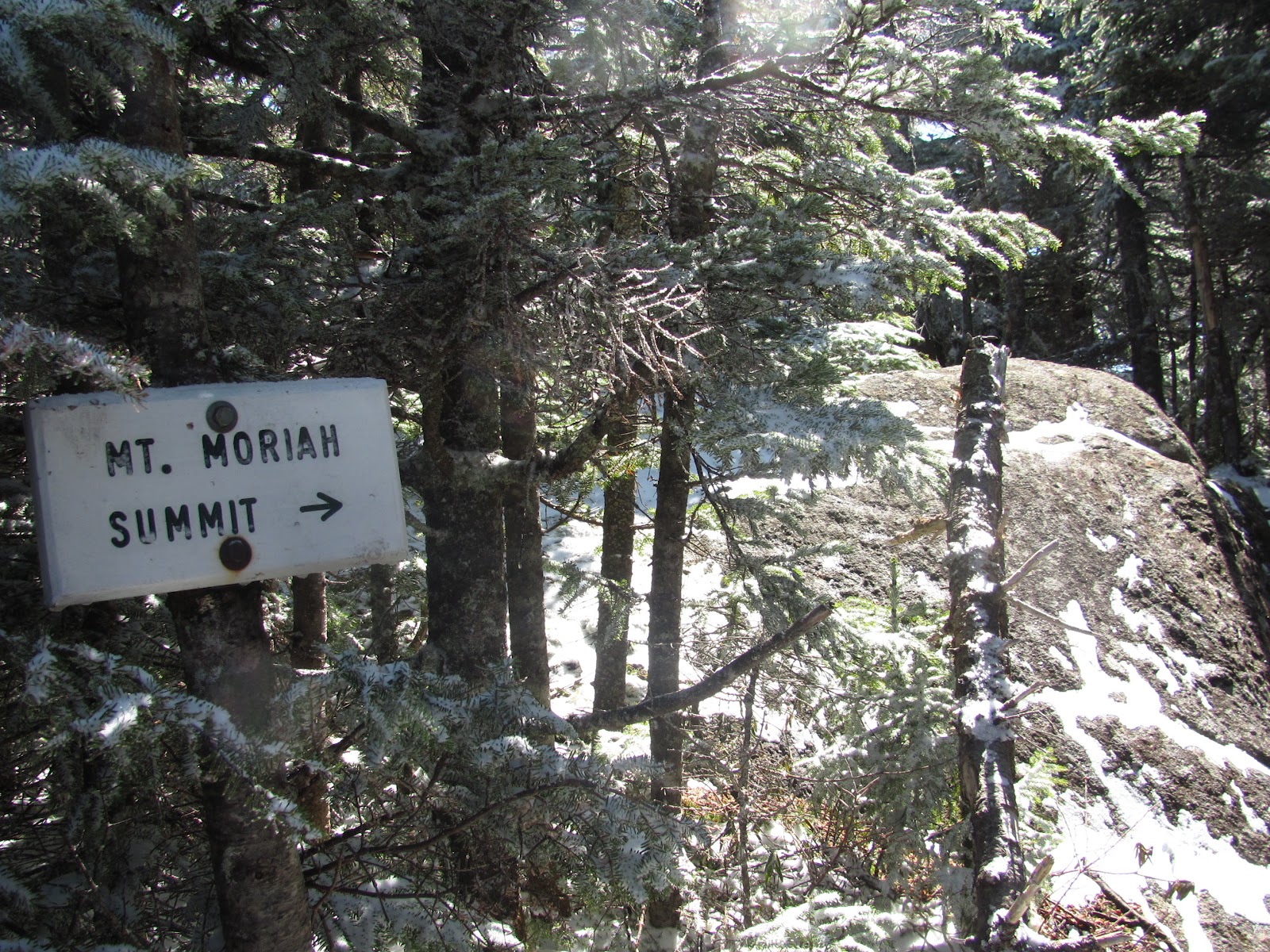
After we were told twice that we were a half mile away (the second was after we hiked at least a half mile) we finally made it to the summit!
| Number 21 for me! |
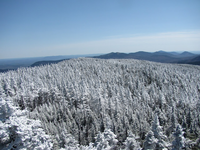
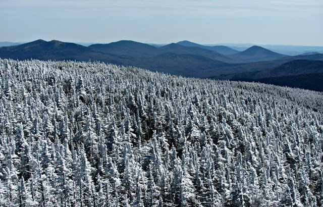
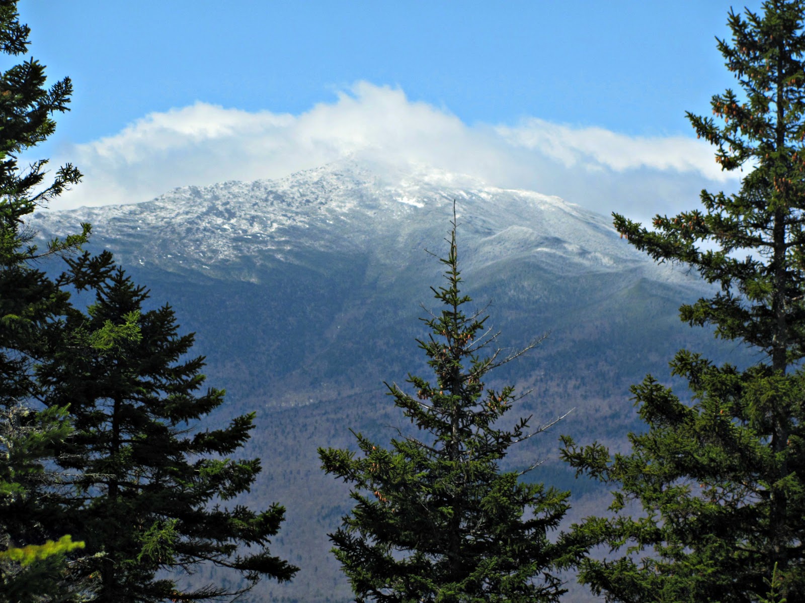
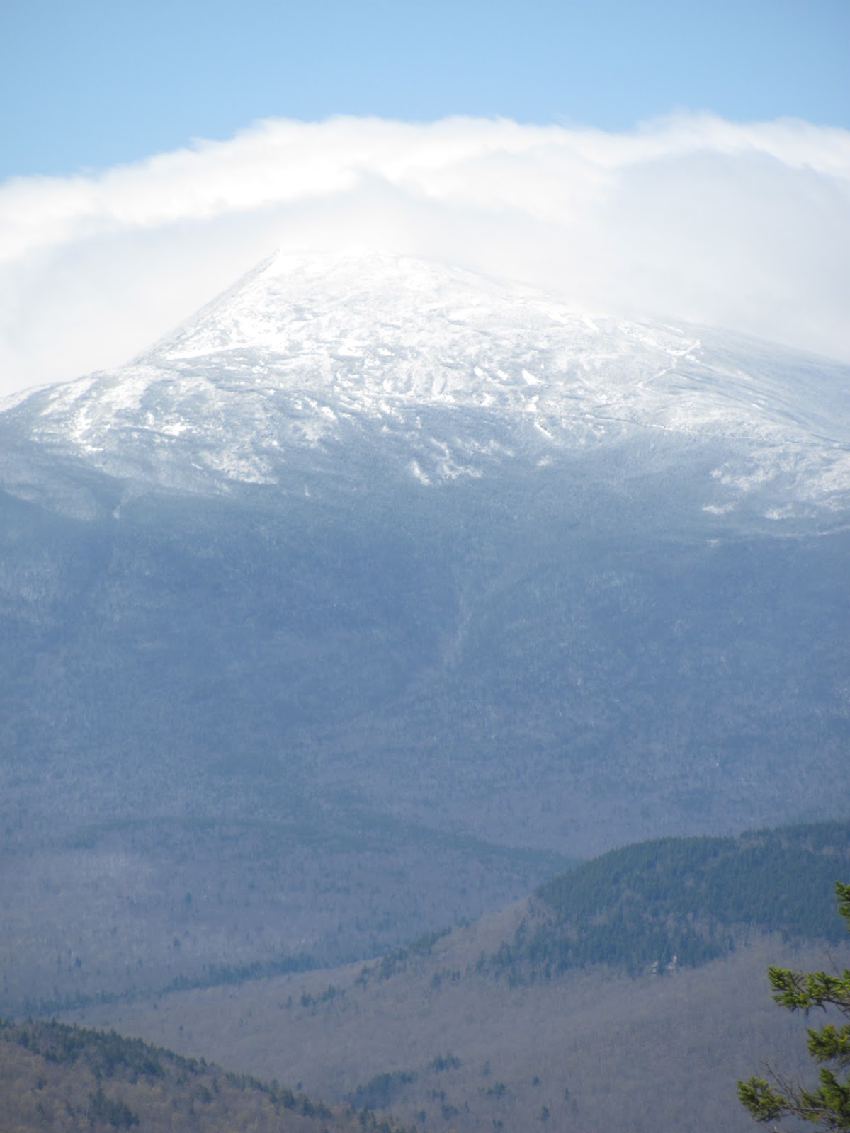
As you can see, the views were breathtaking. We really lucked out and had perfect weather! A few people said it was really windy (one man said he ran down!) but it wasn’t too bad. You just had to battle with the wind a little to pose for pictures!
| We hired another hiker to take our picture for $0. What a bargain! 🙂 His dog was loving the summit! |
| After tagging the summit, we heading back down the Carter-Moriah Trail to our cars |
Quick Facts:
Approach from: Carter-Moriah Trail-Bangor Road lot in Gorham, NH
Height: 4049′
Distance: 9 miles rountrip
Time: 7 hours (tons of ice) and breaks; 6 hours is book time.
Directions to trailhead:
NH 2 East, leaving Gorham
Cross bridge
Cross railroad tracks
Turn sharp right onto Bangor Road:
* 0.2 mi. after crossing bridge
* immediately after railroad tracks
* across street from Androscoggin Country Club golf course
Paved road, residential neighborhood
Follow to its end at 0.5 mi.
Park in small lot on left (don’t park too close to fire hydrant!)
Be careful not to obstruct driveways
Last modified: July 13, 2017

Really great pictures with the frozen trees near the summit! Moriah is a really nice mountain…I enjoyed the Stony Brook Trail from the other side…lots of ledges with great views for the last mile or so.
You took so many beautiful pictures, this has to be by far one of the prettiest hikes you’ve captured. So nice to see the sun and snow way up North where it belongs in April!
What a great trip report! This is so thorough, it will be very helpful to anyone who wants more information about this route — and your pictures are fabulous! Thanks for telling me about your blog. It’s wonderful.
It was nice meeting you in Exeter last week!
Trish
It was nice to meet you and the girls too, Trish! I’m half done with the book. I love it!
Thank you everyone for such nice comments! The next adventure is Whiteface and Passaconaway.
Great as usual! Thank you.
Your photos are excellent. I am considering doing this hike in late autumn/early winter- hopefully it will be as beautiful up there as it was for you!
tomhikesthewhites.blogspot.com