It was very warm for March. It was in the 30s at 8:00 am and got into the 60s during the hike! As a group we decided to forgo the snowshoes (they are heavy!) and stick with microspikes. It would have been perfect if it wasn’t so sunny. I did fine not postholing a whole lot, but a couple members of my group did not have such luck! It made for a slow hike, but with the weather and views, we didn’t mind one bit.
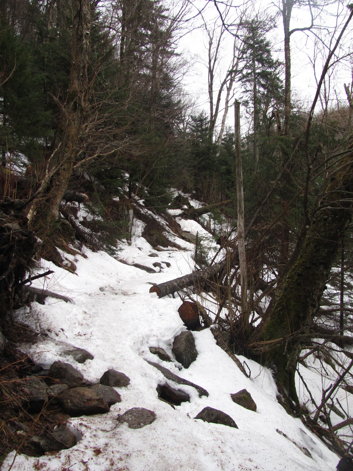
The trail is pretty moderate in steepness. It’s a longer hike (about 10.8 miles) but the elevation is mostly evenly dispersed. There are a couple of tougher stream crossings as the two bridges have been partially washed away.
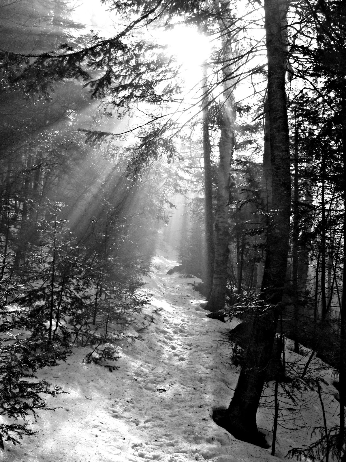
| Which way? Take your pick! |
Throughout the hike, we got a peek at Mt. Washington. We spent some time contemplating whether it was Washington or not. We agreed that it didn’t seem high enough. A few members of my group hadn’t been hiking the 4Ks for very long (but have hiked a lot of them) and we talked about how your experience grows after each hike. You learn more about navigation, packing better, identifying mountains, driving to the Whites, and most importantly: yourself. I think Washington didn’t seem to be looming over us because we were about 3000 feet up so it wasn’t physically as far up as it usually is when viewing it, but the truth is, we have become more experienced hikers and more confident in our ability.
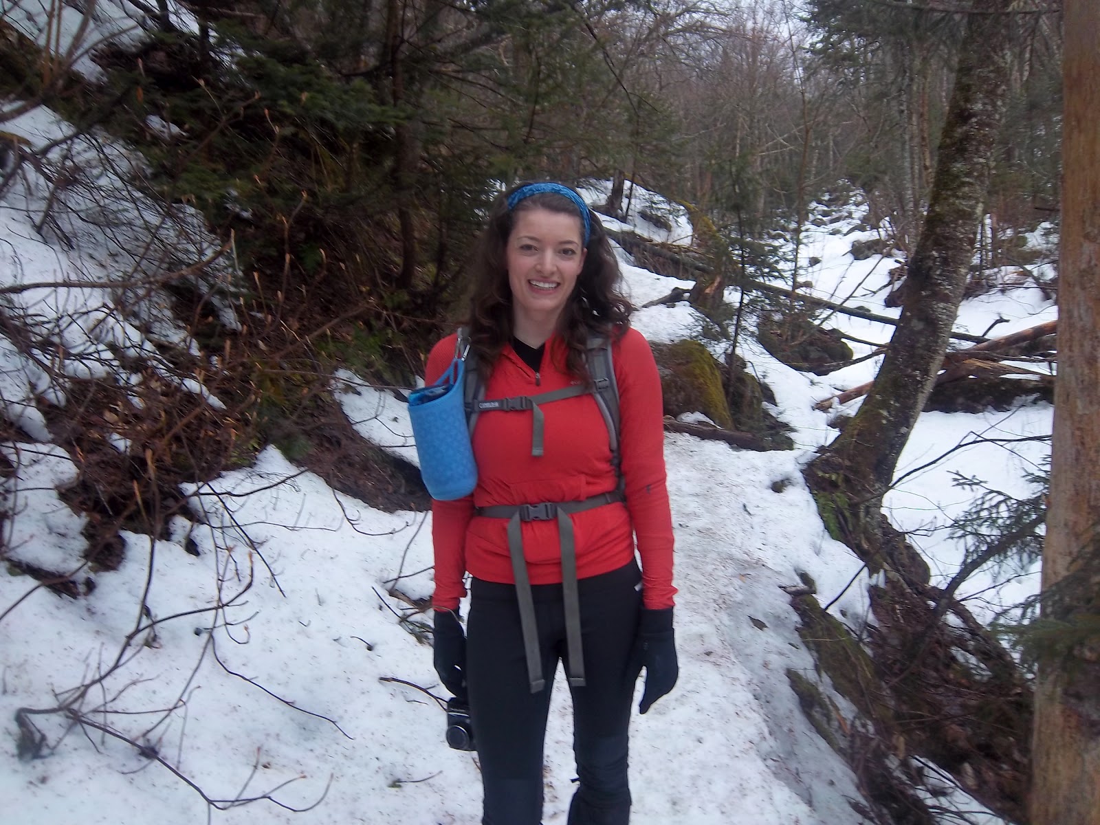
This will most likely be my last hike using a nalgene. It was definitely warm enough to use my Camelbak! No more having to stop for water!
The trail reaching South Carter was packed down really well and it wasn’t really sunny so there were no issues with postholing, but once we got up higher and the snow got soft, it was slow going.
| 2nd crossing |
| Not quite warm enough for a dip! |
At this point we were very excited to reach the summit. Great views were seen through the trees and we crossed our fingers that it would be clear up top.
We continued up the North Carter Trail to reach the summit of South Carter. It’s quite an accomplishment to make it to the other side of a downed tree-especially if you’re tall like Anne!
| All smiles! |
The last of the hike to the summit was pretty flat, but we had to be careful to avoid postholing.
| View from South Carter (4420′) |
Even with a mild winter, the snow is still pretty deep. You can posthole to your knee (more if you’re short!) and even even further if you get caught in a spruce trap!
One of the biggest obstacles was this giant rock on our way to Middle Carter. We had to be very careful as we carefully (and elegantly) slid down. Ok, so we were all grabbing onto the rock and branches for support trying not to make a complete fool of ourselves!
| I made it down… your turn, Anne! |
| Remarkable views of the surrounding presidentials |
| number 20 for me! |
| Group shot- yes he’s with us too! 🙂 |
It was so nice outside that I was able to wear short sleeves on a ridge!
We took the Imp Trail down to the Camp Dodge cutoff. I have never done a bushwhack and this was exceptionally easy. To find it, you stay South on the Imp Trail and you will come to a junction with a logging road. There is currently a huge branch-filled blow-down blocking the Imp trail.
Quick Facts:
Approach from: 19 Mile Brook Trailhead. It is a mile North of the Mt. Washington Auto Road.
Height- South Carter: 4420 feet Middle Carter: 4610 feet
Distance: 10.8 miles
Hiking time: 7 1/2 hours book time. It took us a little longer (about 8 hours) with the soft snow
Last modified: February 5, 2015

Fantastic.. I love your blog!