After getting between four to five hours of sleep Friday night, 4 am came way too early. I knew I had to get ready quick as I had a long day ahead of me. I started a southbound presidential traverse at the Appalachia parking lot on route 2 at 4:45 am. A mile in I was wondering why the hell I thought this was a good idea. It was foggy and humid outside and the sun wasn’t even up. I wasn’t motivated yet and I was hiking alone so turning back would have been easy.
I had set out to hike the Presidential Range, but didn’t have a complete plan. I did my research (I think I read nearly everything about the traverse) and wanted to hike North to South. The one part that wasn’t planned was where I’d end up. I wanted to push myself, but still be okay to descend if the weather, my legs, or my brain told me I needed to. I had a few different options for the day and would hike until I couldn’t anymore; And that’s what I did.
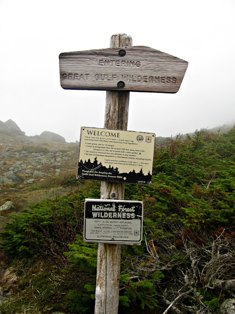
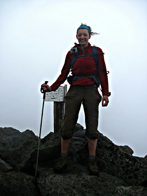
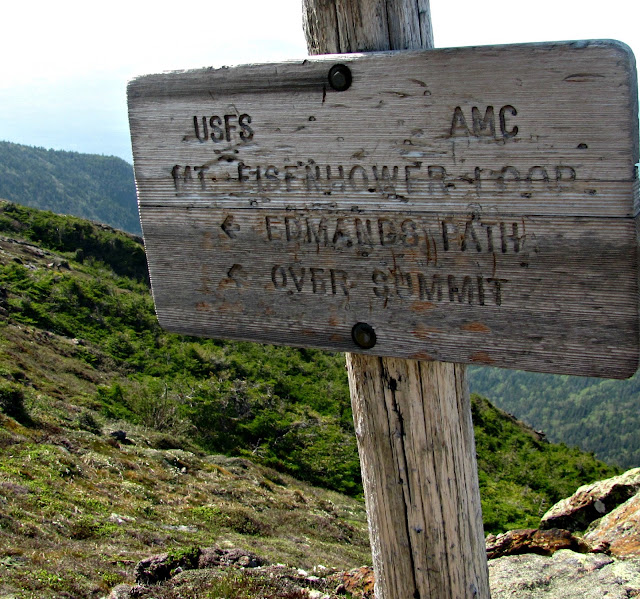
After taking about ten steps into the woods, I came across this sign. I knew it existed, but they warn you right from the start!
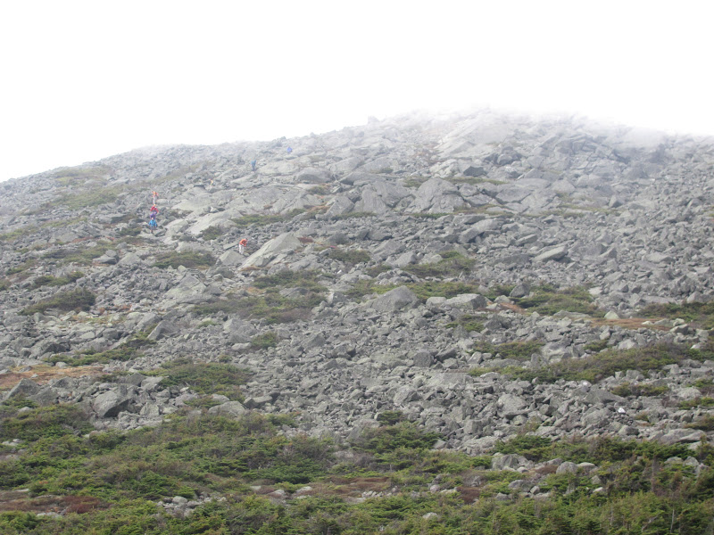
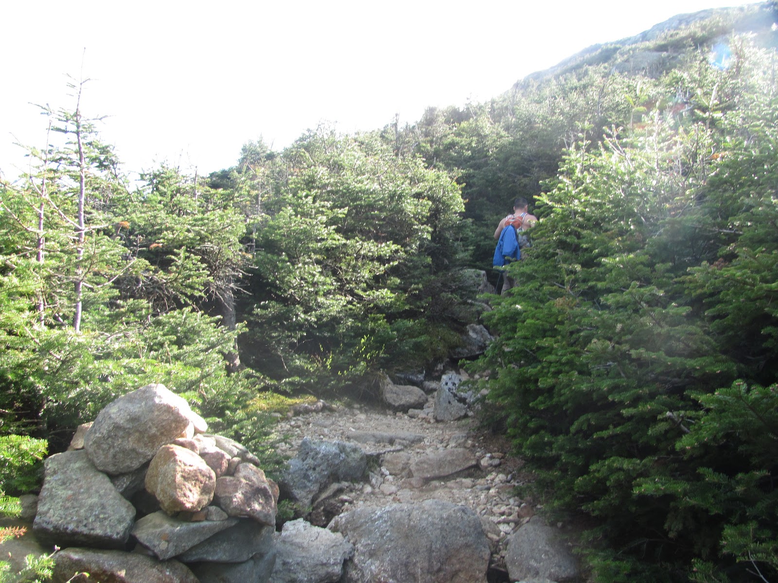
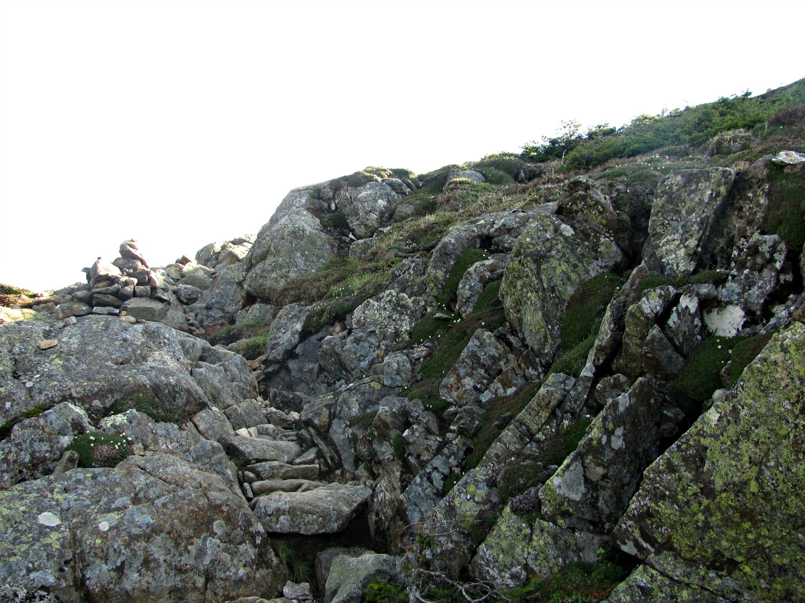
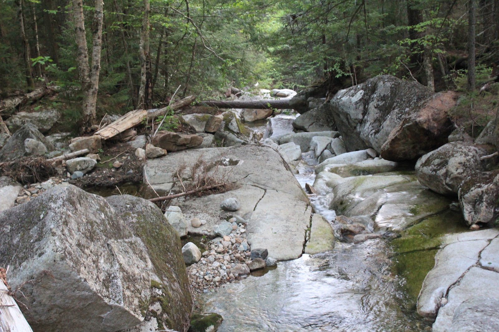
I began with a headlamp, but only needed it for a half hour. I was surprised how fast it brightened up in the woods! The trail started out pretty moderate for a 4000-footer, but then I began to hit rocks. Out of the entire route, maybe ten percent of the trail wasn’t covered in rocks and boulders. It was quite the challenge.
| The beginning of the rocks |
| More warnings. Good advice! |
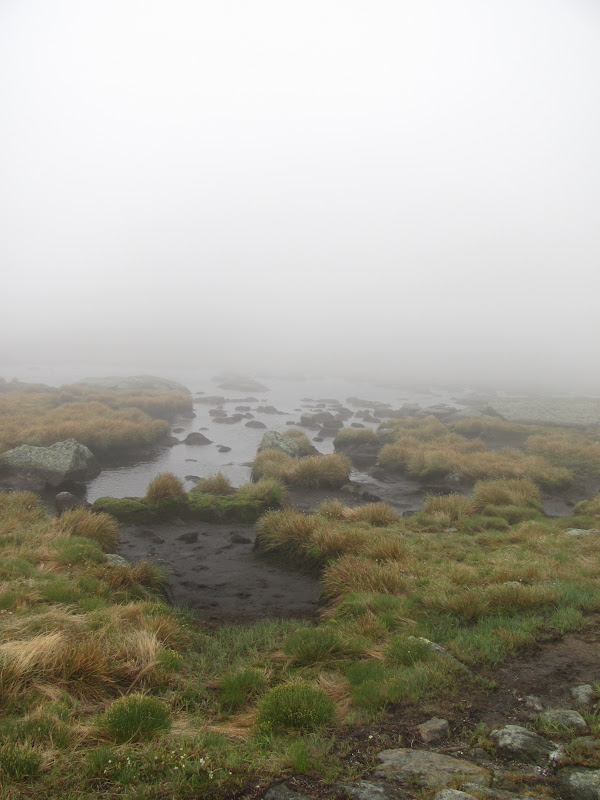
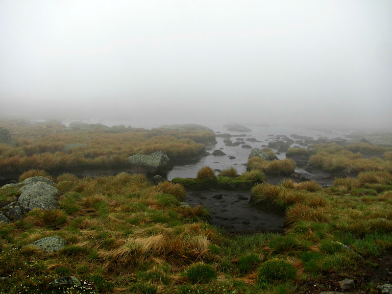
When I started to get above treeline, I was blanketed with fog. The forecast was promising blue skies, even in the White Mountains. I was hoping the skies would clear up sooner than later.
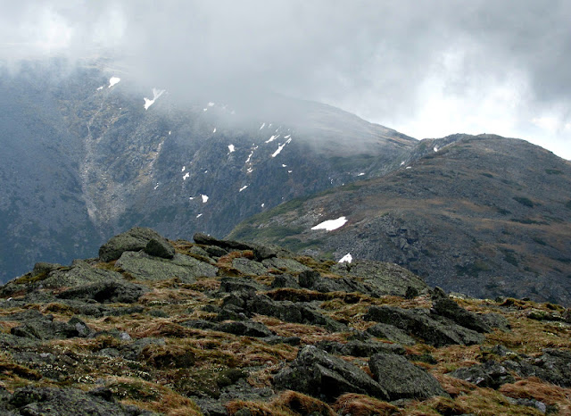
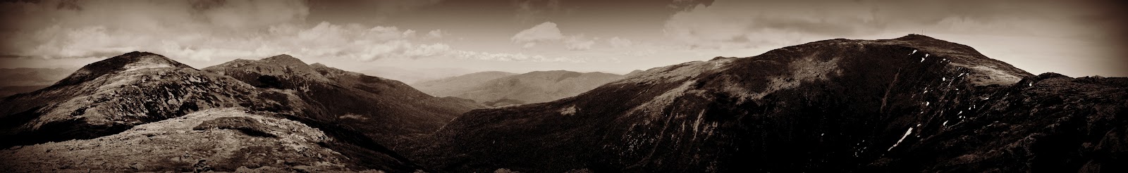
Looking towards King Ravine, the wind pushed the clouds in a steady, sweeping motion. It was easy to see how fast foul weather can arrive in the White Mountains.
| Almost at the hut! |
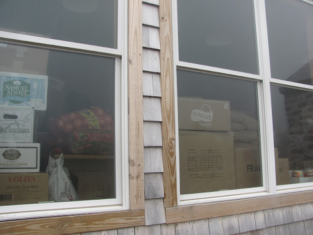
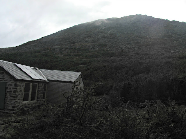
The Madison Spring Hut sits 4,808 feet above sea level. It was not yet open, but it was stocked. Through the window I could see a box of Tuckermans, chips, and oranges- all a hiker needs!
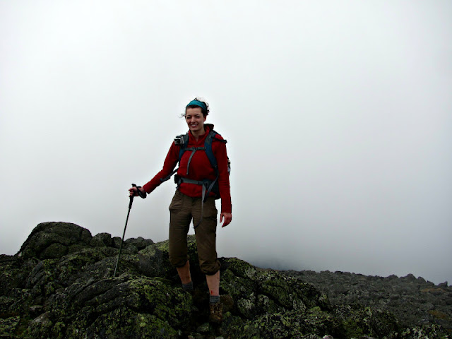
The view from Mount Madison was less than spectacular. I couldn’t see a thing. It was far too windy to hang around so I descended without a picture. This was the only mountain I summited where I was the only one atop at the time.
After Madison, I retraced my steps back to the Madison Spring Hut to get to the Air Line Trail. I was on my way to peak number two: Mount Adams.
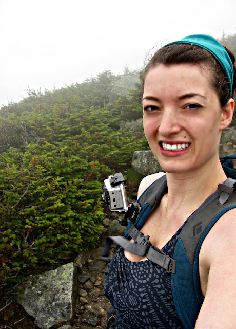
Once I made it to the top of Adams, I tuckered down between a couple of boulders and had a snack. A couple minutes later, part of a Meetup group came along. The wind was fierce so they too decided to stick low and enjoy a break. One of the members of the group took my summit shot and headed down. I would run into this group a few more times before day’s end.
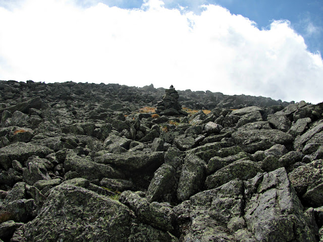
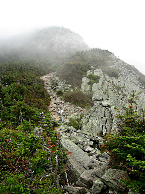
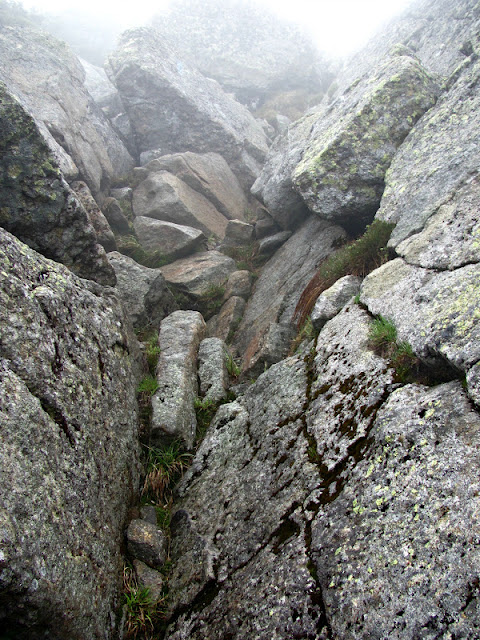
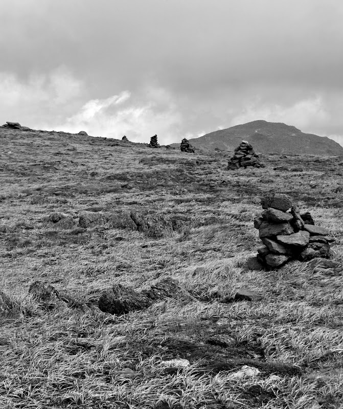
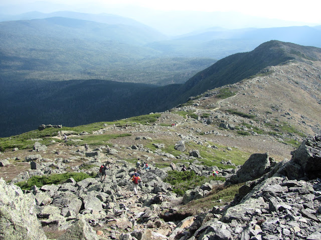
Onward to Washington was all rock. Fields of rocks. Hiking cairn to cairn was easy until the fog rolled in. At one point ascending Washington I had to break as all I could see was a wall of white. Eventually the fog moved on and the cairns reappeared.
 |
| On the summit of Jefferson |
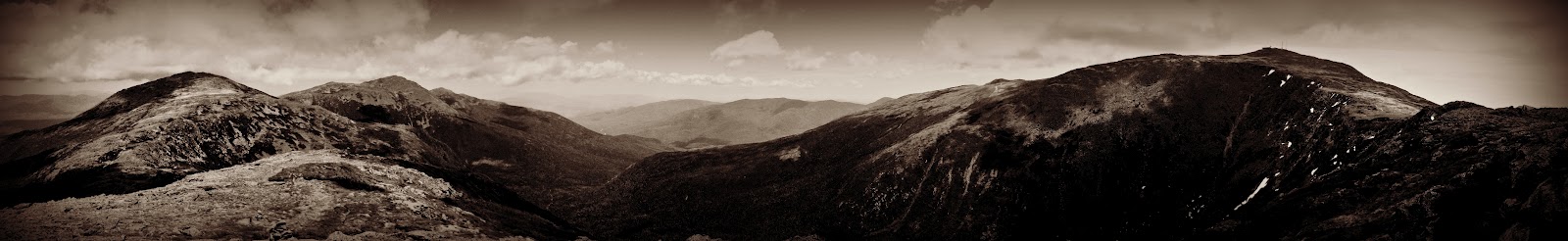
In order for a summit to count for the 4000-footer list, the peak must rise 200 feet above any ridge connecting it to a higher neighbor. Because of this rule, both Mounts Clay and Franklin did not count, but were summited. During the traverse there was a lot of change in elevation. After ascending steep, rocky sections to a summit, I often would find my calves burning as I hopped down a path, only to start back up again.
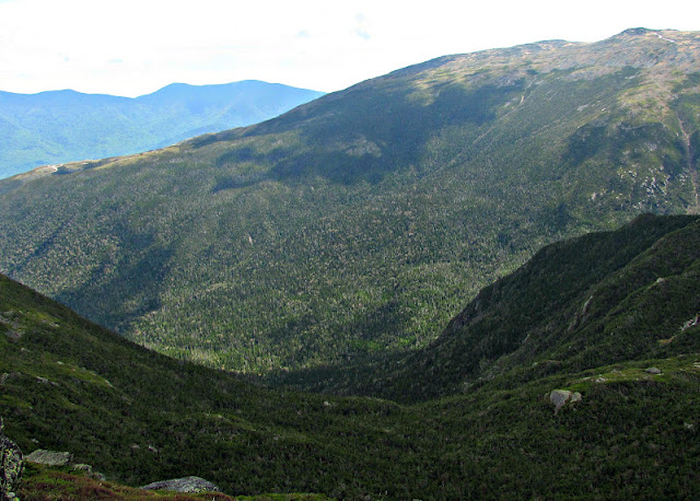
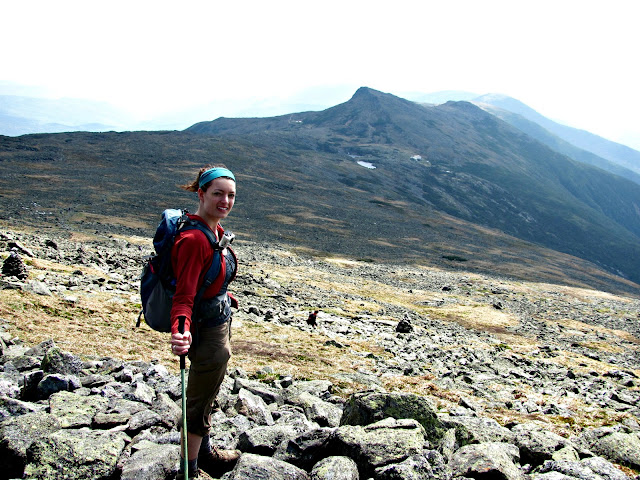
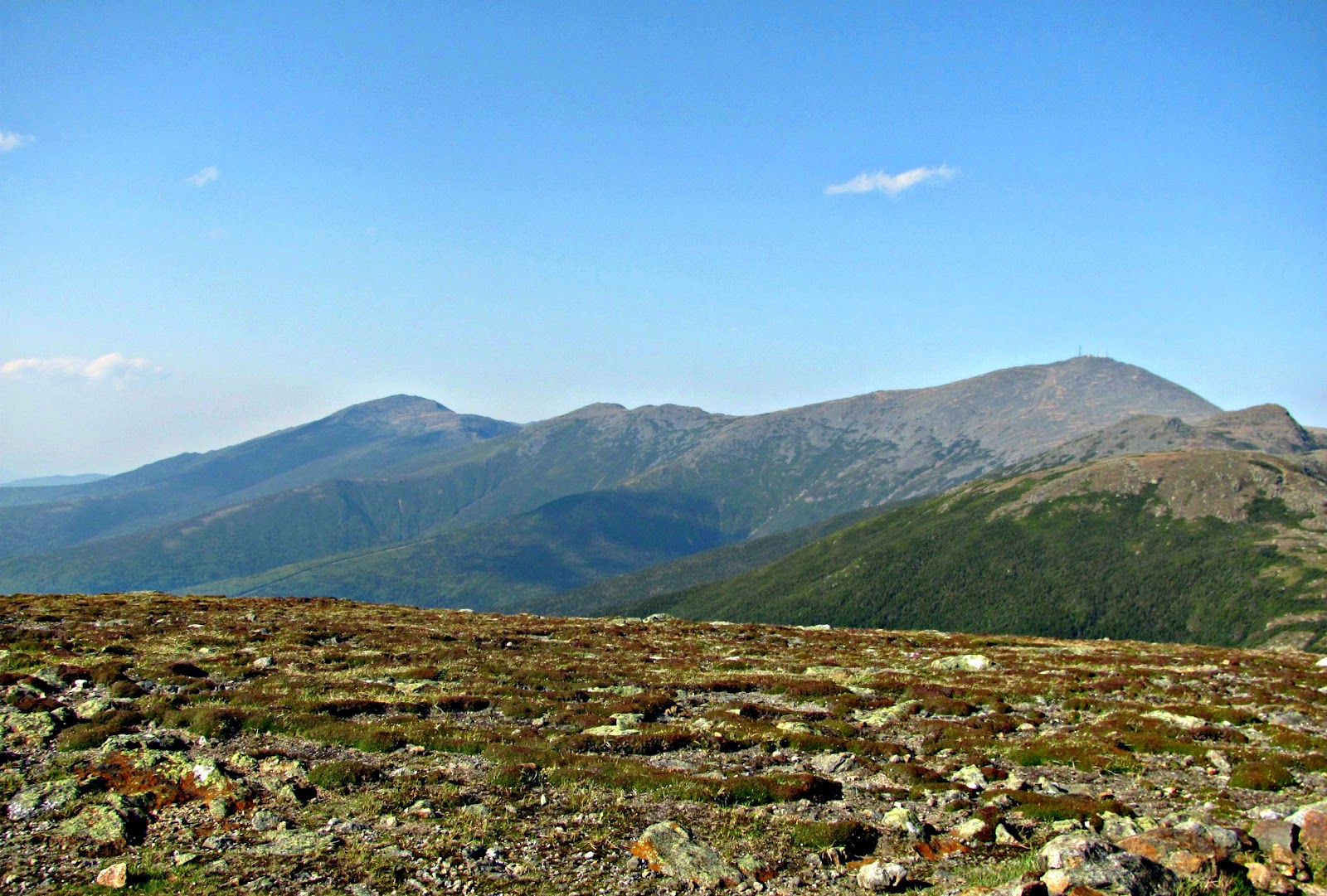
| View of past peaks: Madison, Adams, Jefferson (Right) and a future peak: Washington (Left) |
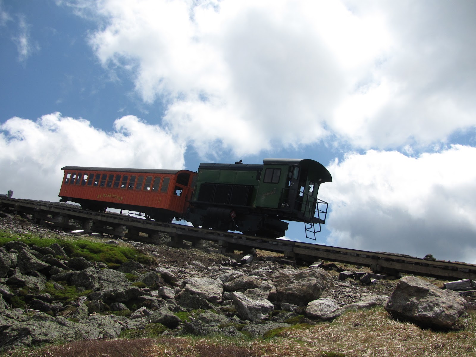
| I got some waves from people on board the train |
When heading up Washington, the skies really cleared up. There was enough wind that I didn’t get too hot and wasn’t bothered by bugs. It was absolutely perfect.
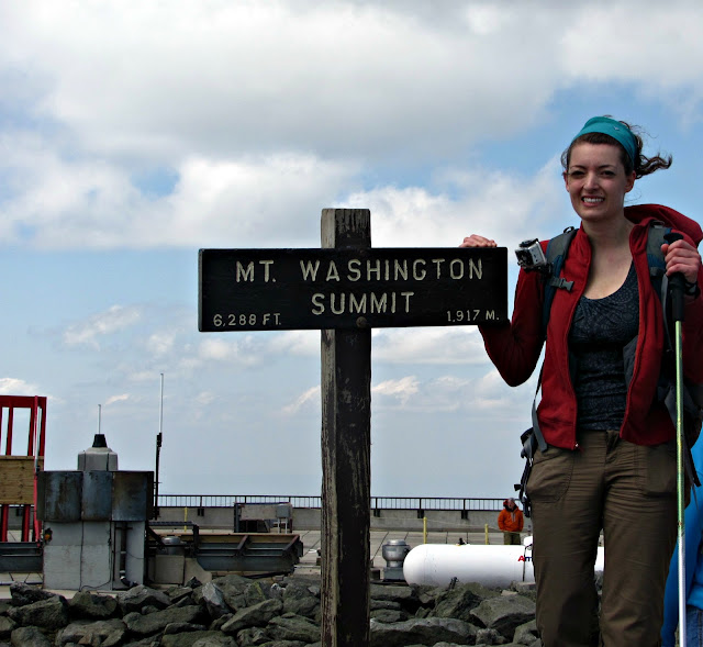
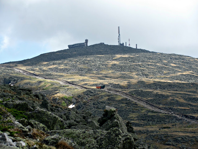
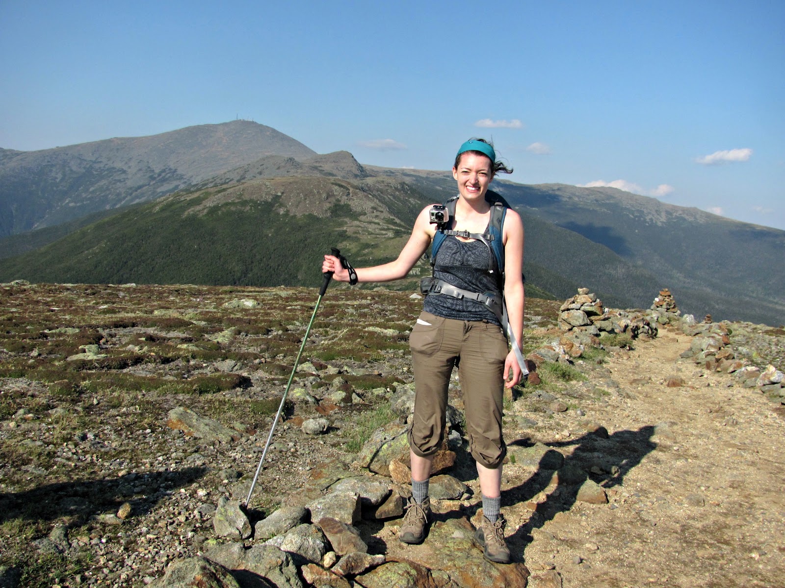
When I reached the summit of Washington I was thrilled that I made it all that way. However, Mount Washington (as I thought it would be) was a disappointment. I weaved my way through crowds of hikers and tourists to the summit sign. I found someone to take my photo and then had to fight for a spot. I have found some of the nicest people above 4000 feet; People who would help a complete stranger in a heartbeat. Atop Washington I had to time when I would push my way to the sign before someone else cut me off. These were people who drove up only to walk 200 feet to the sign.
From here on out, the trail was a little easier than the first half of the hike. However, my legs and feet were tired so at the time it didn’t seem much easier.
| On the summit of Monroe |
There were finally small portions of flat trail, but they only lasted maybe thirty seconds!
From this point I had only two more summits. I had climbed over Mt. Franklin (which doesn’t count on the list) totaling seven peaks hiked in one day!
After hiking down for a bit, I approached the spur to the summit of Eisenhower. It was steep and rocky again, but totally worth it.
 |
| On Eisenhower’s large summit |
I was hiking along and passed this sign (the turn for Pierce) and totally missed it. At this point I had been hiking alongside the Meetup group I met earlier. One of the members realized we had missed it maybe a quarter mile after the sign. We decided we had to bag it and the three of us quickly retraced our steps to Mount Pierce.With this peak, we officially hiked the Presidential Traverse.
After making our way down the trail once again, we split up as they had to catch up with their group. They ran ahead and I stayed back as I am not too keen on running over rocks and roots. I only got a scrape on my leg that day and wanted to keep it that way! The last few miles went on forever. I At that point I thought about what I had actually done. I traversed over 9 peaks, 7 that count for the 4000-footer list, and five of them were the highest of the list. My legs were pretty much done at that point. When I thought I was as low on the mountain as I could be, I began to go down some more. Eventually I made it to the sign for parking, but I felt the sign was very premature as I still had some more to hike. When I got to the lot, I met up with the whole group who agreed to give me a ride to the trailhead on route 2 where my car was. I had finished the hike at 8:15 pm and surprisingly didn’t need a headlamp in the end.
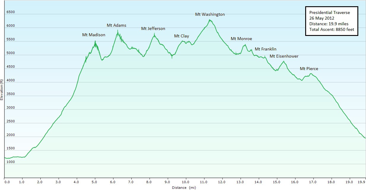 |
| Elevation Profile courtesy of the Washington Backpackers Meetup Group |
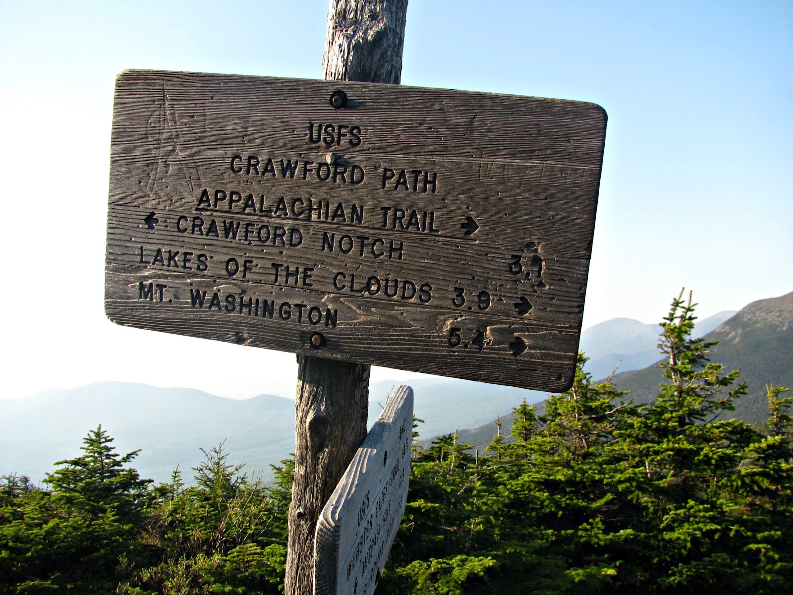
Approach from: Appalachia Trailhead Route 2 Randolph, NH
Height-
Distance: A little over 20 miles
Hiking time: 15 1/2 hours with breaks, including about an hour on Washington.
Last modified: November 28, 2014
You never cease to amaze me … I would never have even attempted such a long solo adventure. Congrats on your victory!
Just an amazing day! Fantastic accomplishment Allison. Congratulations!
That was great! I’ve climbed most of those but have never done the traverse. Now I would really like to give it a try.
Congratulations! That is quite an accomplishment.
Thanks everyone for the kind words!It was quite an amazing day. Looking forward to my next big adventure- leading a Bonds traverse 🙂
What a great report - your photos are beautiful. Just found your blog and really like it. Thank you for sharing your adventures. I’m just getting started in the Whites, have made it up Moosilauke and Lafayette so far, and tried W, getting just past Split Rock on Boott Spur last summer and to the Lakes hut and a little beyond a month ago, turning back due to wind.
Hope soon to get up W via the Jewell Trail and down via the beautiful Ammo. My photos are at Panoramio if you’d like to take a look: http://www.panoramio.com/user/5078936?show=all
Thank you again,
Chris Stratton/Arkie_in_CT
Congratulations - great trip and a wonderful report.
Hi there! Amazing blog- thanks very much. I’m doing the one day trip in August- Just wondering, did your GoPro generate that map with the altitudes? I’m considering picking one up, and that is really cool!
Do you know if the GPS allows for live tracking for the people at home?
Cheers!
Amber
Well done! This post has inspired me to attempt this traverse at some point this summer!
tomhikesthewhites.blogspot.com
P.S.: I did make it up and down Mt. Washington on June 17 via the Jewell-A.T.-Ammo loop. Had a day similarly beautiful to yours and stayed in shorts and T-shirt all day. Just relooked at your post here - such beautiful pictures. Look forward to your next post.
Wow. That sounds like an amazing solo adventure. Keep up the great hikes and please share them with us.
-Andy
I did Washington and the Southern peaks yesterday and it about killed my calves, so I am very impressed. No way I could have done the Northern leg too.
Wow! Great pics, great blog, great hiking! You are incredible! Onward!
Saved as a favorite, I like your site!
It’s very straightforward to find out any matter on net as compared to textbooks, as I found this article at this site.
Review my weblog - minute halloween costume ideas
First, what an amazing feat! Congrats on completing this undertaking, especially solo! This is a journey I dream of doing. I’m planning a Bonds traverse in June. If I haven’t done the Presidentials by then, maybe I’ll consider this option. : )
Second, an obvious question came to mind as I was reading: Since you didn’t spot a car at the other end, how were you planning to return? It’s these practical details that I think about. : )
Nice blog…You’re doing great for a rookie. Keep up the good work and be safe.
Schorman
Hi there! I’m at work browsing your blog from my new iphone! Just wanted to say I love reading through your blog and look forward to all your posts! Carry on the superb work!
Look at my web site - Women dress
Nice job! I want to do the one day traverse this summer. When do you recommend doing it?
http://www.SkiHikeBike.com
Informative article, exactly what I needed.
Also visit my weblog; http://www.mamapaparazzi.jp
I love your blog!!! I really got into hiking this summer and started my own. I tried doing the Presi Traverse a couple weeks ago but ended at Jefferson due to horrible weather and I hurt my knee. I’m planning on getting a tattoo of the range on my back soon though…something to remind me of my passion and home!
Great post, thanks for sharing! A solo one-day traverse is pretty hardcore!
Thanks for posting. On my way from DC to NH to hike this tomorrow with a small group.