I’ve been slowly working on the New England Hundred Highest bushwhacks and had a fantastic opportunity to hike to some of the most remote peaks in Maine with three other women. While there are many who are hiking the New Hampshire and New England 4000 footers, few continue on the New England Hundred Highest (NEHH) list because of the number of difficult bushwhacks. It’s always nice hiking with others for these peaks for a number of reasons:
1. The drive itself is long
These peaks are about 4 1/2 hours from my house and I’m near Concord NH. Folks coming from the Boston area have an even longer drive.
2. The roads are tough
Most of the trailheads are accessible only via logging roads which are unpaved and contain many deep culverts and strewn with rocks. You need a high clearance car to guarantee you’ll make it to each trailhead.
3. You’ll need to put your heads together
While it is certainly possible for an experienced bushwhacker to do these hikes solo, it was really nice using each other to navigate and problem solve. Many pairs of eyes usually served us well.
4. It’s just plain fun
I was lucky to have such a wonderful group. We made jokes and laughed everyday. Who else can say their bushwhacks were a blast? It’s all about who you surround yourself with!
We (Amy, Robin, Jill, and myself) planned to tackle the Maine Six Pack over Labor Day weekend. We actually drove up early Sunday morning and left Tuesday which meant no traffic!! We stayed at Cupsuptic Campground which was great, but Cathedral Pines Campground is a little closer and looks nice as well. I would try staying there if you can get a site.
The six pack typically contains both Snow Mountains (Cupsuptic and Chain of Ponds), East and North Kennebago Divide, Whitecap, and Boundary Peak. Because two members of our group didn’t have passports and the approach from the U.S. side is a full day, we switched things up. On our last day, we bagged Elephant Mountain on our way back home. This is a report of day one. You will also find posts for days two and three as well. I cannot express how important the right gear and preparation for bushwhacks is!
Day 1 9/6/2015: White Cap (3856’) and North Kennebago Divide (3775’) 5.1 miles for both peaks round trip.
Total elevation gain: 1763’
Hiking: Logging road, herd path, bushwhack
Directions to Trailhead:
*thank you to Peppersass for very recent and accurate driving and hike information which was invaluable to us! We used her directions to drive to the trailhead.
- From Route 27 Stratton, ME take Tim Pond Road (a left turn, 2.9 miles north of Cathedral Pines Campground - has a sign) for 17.3 miles. Road is graded but rough.
- Turn right on Kennebago River Road (which is opposite Kennebago Kamp) and proceed for 3.1 miles to the first major left.
 - Go left and over the bridge and bear right onto Bear Brook Road (also a rough road).
- Travel 3.8 miles on Bear Brook Road to the parking area on left (your vehicle will not be able to drive further due to logging debris).
*Because of logging operations, driving directions on these roads are bound to change over time.
Hike:
The four of us met and checked in at Cupsuptic Campground for the end of the holiday weekend. We left a car there and piled into Robin’s Subaru Forester to handle the drive up the notoriously rough Maine logging roads.
When we arrived at the trailhead it was a steamy 88 degrees. This was the only day two peaks could be hiked without driving in between. We would hike up to the summit of White Cap first and then make our way to North Kennebago for a total of 5.1 miles.
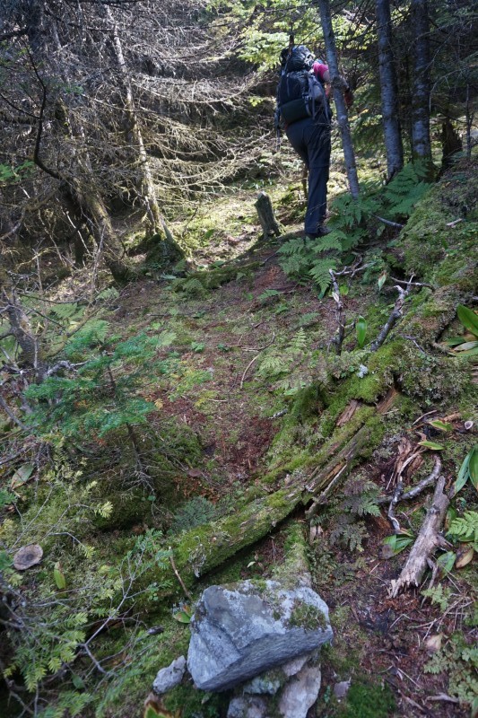
From the parking area you will start hiking up a logging road which is covered in a huge pile of slash
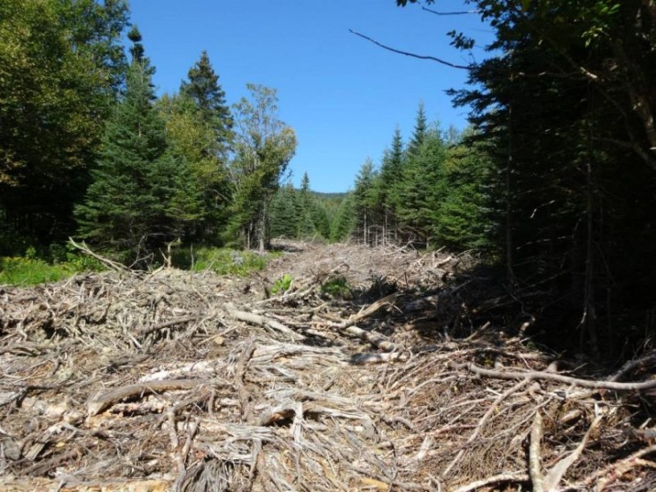
Within a couple of minutes you will see a grassy path to the right. You need to cut across the slash to begin the ascent along this path. Do not stay on the logging slash as it will eventually fork to the left.
This grassy road continues for quite a while up White Cap. Keep an eye out for a small cairn at 3200’. You will take this to go to North Kennebago on your way down from White Cap.
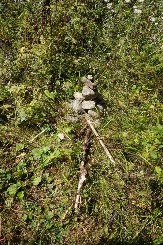 The cairn above will not have an arrow. The heat really got to Jill early in the hike and after much discussion she decided to hang back and meet up with us along the way. We made a couple temporary markers for her and took them down on our descent.
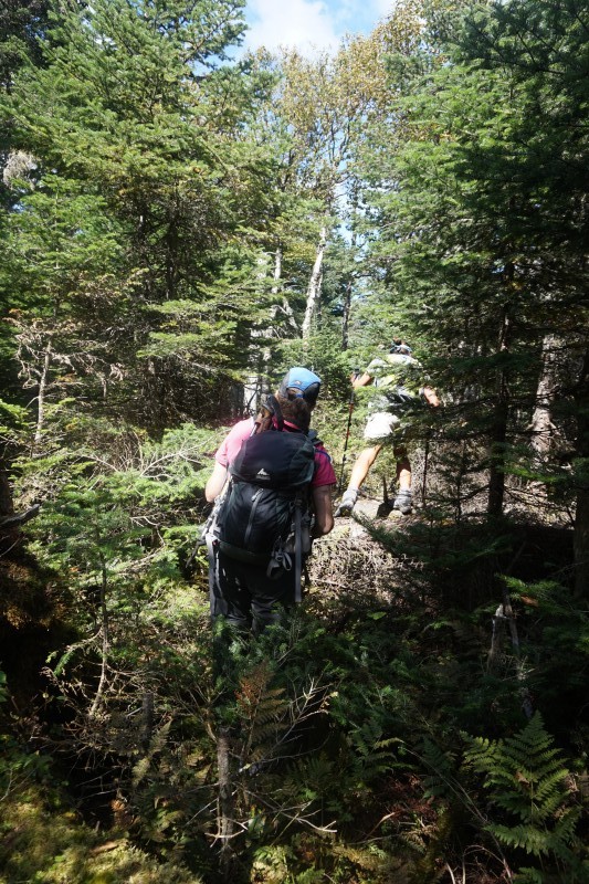
At 3700’ there is a larger cairn and a tiny cairn on top of a log. This indicates the left turn to begin the herd path to the summit of White Cap.
This herd path is in generally open woods and easy to follow.
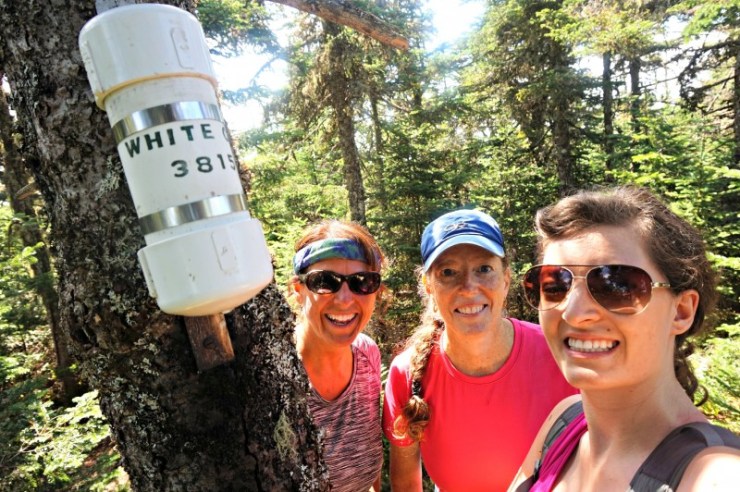
 Still be careful to stay on route as there are some paths that connect to this herd path which could be confusing. The summit of White Cap is marked with a sign and canister.
Once you sign the canister, head back down the same path to that small cairn at 3200’.
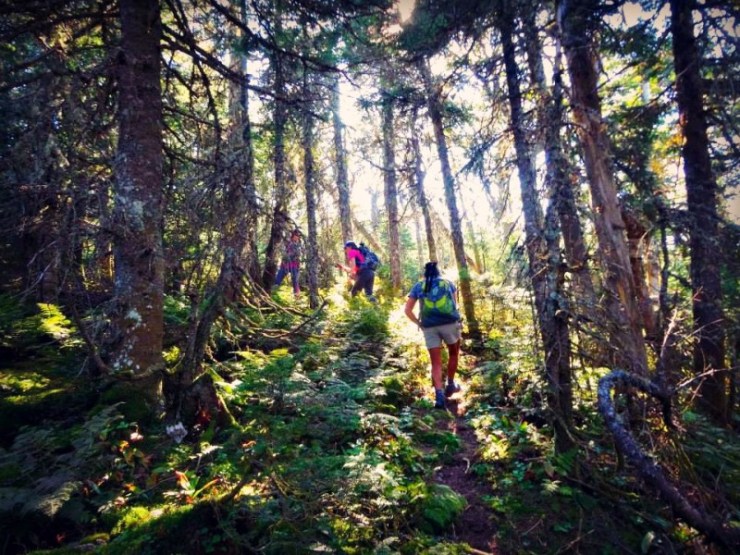 It didn’t take us long to lose the herd path. From all previous trip reports, this seems to be the case for everyone. This peak requires navigation skills and the right mindset.
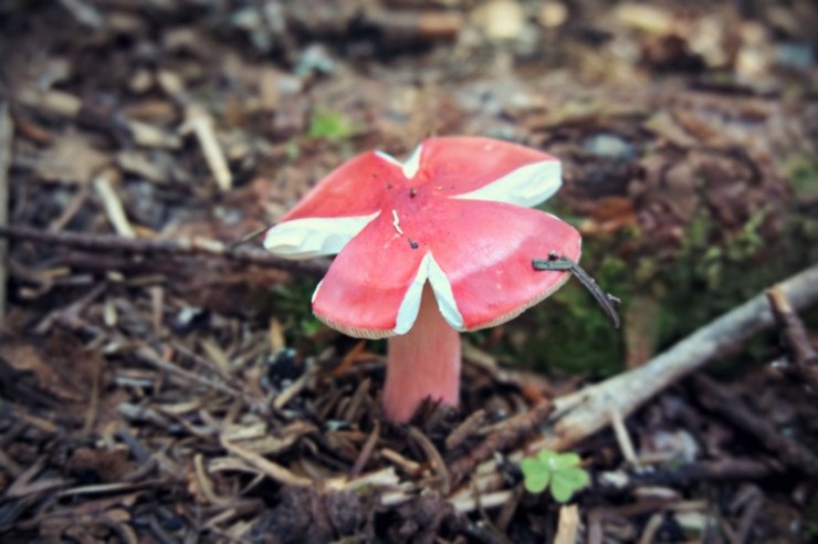
If the photo above was in a 6×6 grid it might represent all the scat we saw here!
 We ended up rocking the navigation because eventually we met up with a herd path as we got closer to the summit of North Kennebago!
We were really happy to have made it to the summit! The canister was just a spaghetti sauce jar and there were no views, but in this case the reward was pushing past the challenges (and all the branches) to reach our goal!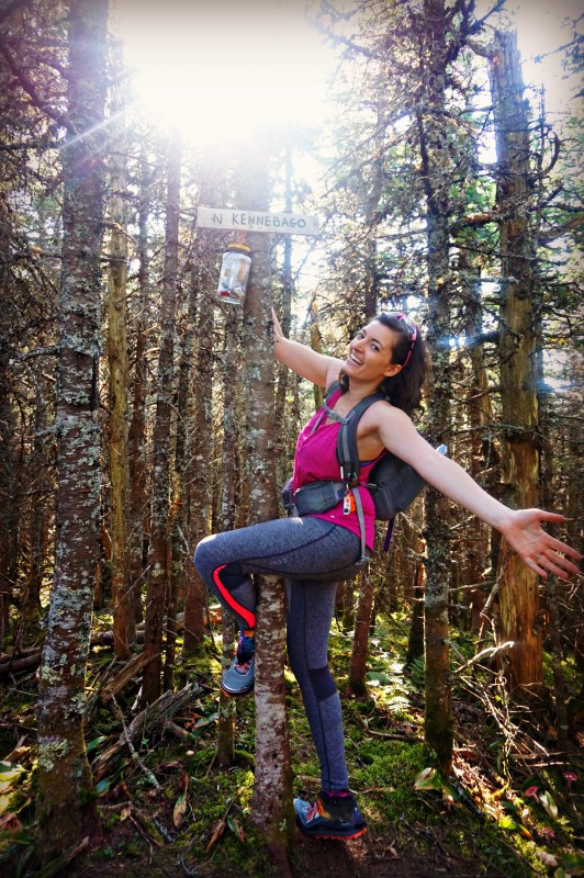
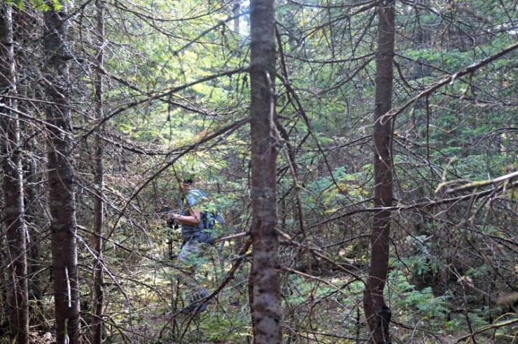
Just like the ascent, be aware on the reverse so you stay on the herd paths as long as possible. Between some GPS tracks, compass orienteering, and four sets of eyes, we made it down, but not without a good chunk of bushwhacking through what we called “stick forest”.
Looking to hike these peaks? Check out day two: Snow, Chain of Ponds and East Kennebago Divide or day three: Cupsuptic Snow and Elephant Mountain.
Last modified: September 3, 2017


Sounds like another great adventure! Hope you’re considering giving a presentation on bushwhacking the NHHH for us wannabes!
I just finished the 48 last weekend!
Congratulations!! Which peak did you finish on??
You may be able to pull my leg! When organizations contact me they always ask about the JMT! I love talking about it but am so excited to talk about winter hiking next month!! I would definitely like to do some talks on this list, specifically the bushwhacking aspect!
Thank you for this info! I am making my way through the 100 Highest and boy - these bushwhacks!! Think I better save this one for a day I have a hiking partner but heading north tomorrow to bag Boundary, the Snow with a trail and maybe even an Elephant attempt. Thanks for the intel and keep rockin it!
Cheers to women in the woods,
*Skooch